File:明石海峡大橋 - panoramio (1).jpg
Jump to navigation
Jump to search

Size of this preview: 800 × 533 pixels. Other resolutions: 320 × 213 pixels | 640 × 427 pixels | 1,024 × 683 pixels | 1,280 × 853 pixels | 2,640 × 1,760 pixels.
Original file (2,640 × 1,760 pixels, file size: 3.43 MB, MIME type: image/jpeg)
Captions
Captions
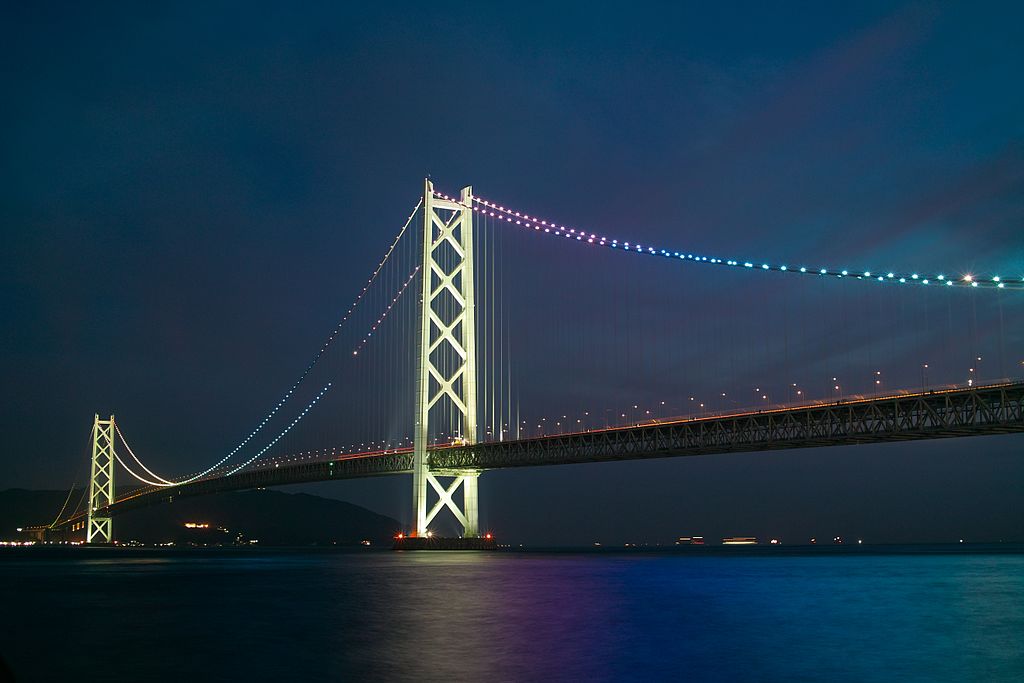
Akashi Kaikyō Bridge linking the city of Kobe on the Japanese mainland of Honshu to Iwaya on Awaji Island
Summary[edit]
| Description | 明石海峡大橋 | |||||
| Date | Taken on 24 June 2010 | |||||
| Source | https://web.archive.org/web/20161022040607/http://www.panoramio.com/photo/51502327 | |||||
| Author | clear_and_sunny | |||||
| Permission (Reusing this file) |
This file is licensed under the Creative Commons Attribution 3.0 Unported license. Attribution: clear_and_sunny
|
|||||
| Other versions | ||||||
| Tags (from Panoramio photo page) | Tarumi-ku, DP2, night |


_(cropped).jpg)
.jpg&action=edit§ion=1)
| Object location | | View this and other nearby images on: OpenStreetMap |
|---|
.jpg¶ms=034.616200_N_0135.020500_E_globe:Earth_class:object_type:object__&language=en)
| Camera location | | View this and other nearby images on: OpenStreetMap |
|---|
.jpg¶ms=034.629332_N_0135.037047_E_globe:Earth_type:camera_source:Panoramio_&language=en)
File history
Click on a date/time to view the file as it appeared at that time.
| Date/Time | Thumbnail | Dimensions | User | Comment | |
|---|---|---|---|---|---|
| current | 14:34, 20 November 2016 | | 2,640 × 1,760 (3.43 MB) | Panoramio upload bot (talk | contribs) | == {{int:filedesc}} == {{Information |description=明石海峡大橋 |date={{Taken on|2010-06-24}} |source=http://www.panoramio.com/photo/51502327 |author=[http://www.panoramio.com/user/2651412?with_photo_id=51502327 clear_and_sunny] |permission={{cc-b... |
You cannot overwrite this file.
File usage on Commons
The following 4 pages use this file:
.jpg)
File usage on other wikis
The following other wikis use this file:
- Usage on ca.wikipedia.org
- Usage on eu.wikipedia.org
- Usage on ga.wikipedia.org
- Usage on ja.wikipedia.org
- Usage on ko.wikipedia.org
- Usage on my.wikipedia.org
- Usage on th.wikipedia.org
- Usage on uk.wikipedia.org
- Usage on www.wikidata.org
.jpg&oldid=767269847)