File:Área Recreativa de Arenas Negras 01.jpg
Jump to navigation
Jump to search
Size of this preview: 800 × 494 pixels. Other resolutions: 320 × 198 pixels | 640 × 395 pixels | 1,024 × 633 pixels | 1,280 × 791 pixels | 2,560 × 1,582 pixels | 4,439 × 2,743 pixels.
Original file (4,439 × 2,743 pixels, file size: 5.09 MB, MIME type: image/jpeg)
Captions
Captions
Add a one-line explanation of what this file represents
Summary[edit]
| Description |
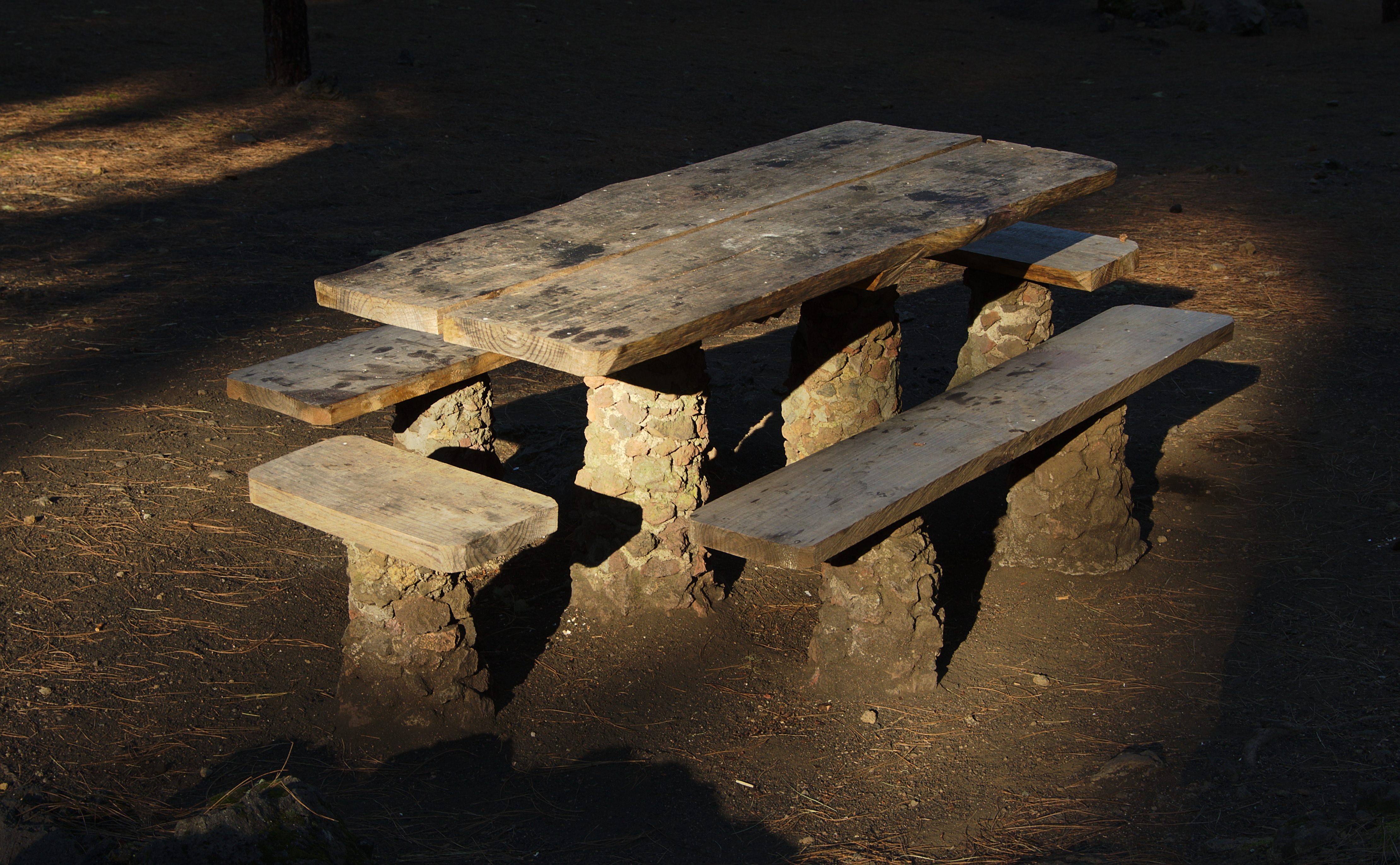
English: Public picnic table at the Arenas Negras recreational area. |
| Date | |
| Source | Own work |
| Author | El Grafo |
| Camera location | | View this and other nearby images on: OpenStreetMap |
|---|
Licensing[edit]
El Grafo, the copyright holder of this work, hereby publishes it under the following license:
This file is licensed under the Creative Commons Attribution-Share Alike 4.0 International license.
Attribution: © El Grafo / CC-BY-SA-4.0
- You are free:
- to share – to copy, distribute and transmit the work
- to remix – to adapt the work
- Under the following conditions:
- attribution – You must give appropriate credit, provide a link to the license, and indicate if changes were made. You may do so in any reasonable manner, but not in any way that suggests the licensor endorses you or your use.
- share alike – If you remix, transform, or build upon the material, you must distribute your contributions under the same or compatible license as the original.
Assessment[edit]
|
File history
Click on a date/time to view the file as it appeared at that time.
| Date/Time | Thumbnail | Dimensions | User | Comment | |
|---|---|---|---|---|---|
| current | 18:08, 12 May 2019 | | 4,439 × 2,743 (5.09 MB) | El Grafo (talk | contribs) | VicuñaUploader 1.20 |
You cannot overwrite this file.
File usage on Commons
The following 14 pages use this file:
- User:El Grafo/gallery
- User talk:El Grafo/Archive 16
- Commons:Featured picture candidates/File:Área Recreativa de Arenas Negras 01.jpg
- Commons:Featured picture candidates/Log/June 2019
- Commons:Featured pictures/Objects
- Commons:Featured pictures/chronological/2019-A
- Commons:Picture of the Year/2019/Candidates
- Commons:Picture of the Year/2019/R1/Gallery/2019-A
- Commons:Picture of the Year/2019/R1/Gallery/ALL
- Commons:Picture of the Year/2019/R1/Gallery/M06
- Commons:Picture of the Year/2019/R1/Gallery/Objects, shells and miscellaneous
- Commons:Picture of the Year/2019/R1/v/Área Recreativa de Arenas Negras 01.jpg
- Commons:Quality images/Subject/Architecture/Interior/Archive 2019
- Commons:Quality images candidates/Archives May 17 2019
File usage on other wikis
The following other wikis use this file:
- Usage on fr.wikipedia.org