File:A map of Europe to illustrate territorial changes since 1914 (5003859).jpg
Jump to navigation
Jump to search

Size of this preview: 766 × 599 pixels. Other resolutions: 307 × 240 pixels | 614 × 480 pixels | 982 × 768 pixels | 1,280 × 1,001 pixels | 2,560 × 2,003 pixels | 5,000 × 3,912 pixels.
Original file (5,000 × 3,912 pixels, file size: 2.34 MB, MIME type: image/jpeg)
Captions
Captions
Add a one-line explanation of what this file represents
Summary[edit]
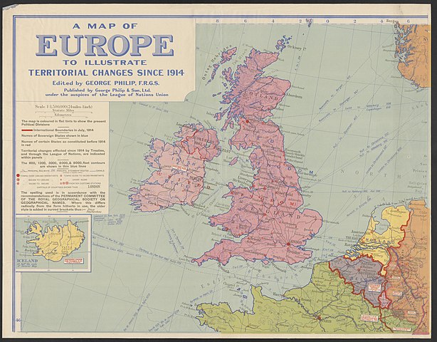
| A map of Europe to illustrate territorial changes since 1914
|
||||||||||||||||||||||||
|---|---|---|---|---|---|---|---|---|---|---|---|---|---|---|---|---|---|---|---|---|---|---|---|---|
| Title |
A map of Europe to illustrate territorial changes since 1914 |
.jpg) | ||||||||||||||||||||||
| Publisher | ||||||||||||||||||||||||
| Object type |
map / publication |
|||||||||||||||||||||||
| Description |
English: WWI map from the collections of the National Library of Wales |
|||||||||||||||||||||||
| Publication date |
1923 |
|||||||||||||||||||||||
| Dimensions |
height: 181 cm (71.2 in) |
|||||||||||||||||||||||
| Collection |
|
|||||||||||||||||||||||
| Source |
|
|||||||||||||||||||||||
| Other versions |
|
|||||||||||||||||||||||


.jpg)
.jpg)
.jpg&action=edit§ion=1)
Licensing[edit]
.jpg&action=edit§ion=2)
| This map is ineligible for copyright and therefore in the public domain, because it consists entirely of information that is common property and contains no original authorship. For more information, see Commons:Threshold of originality § Maps.
|
File history
Click on a date/time to view the file as it appeared at that time.
| Date/Time | Thumbnail | Dimensions | User | Comment | |
|---|---|---|---|---|---|
| current | 15:42, 26 May 2020 | | 5,000 × 3,912 (2.34 MB) | Jason.nlw (talk | contribs) | pattypan 20.04 |
You cannot overwrite this file.
File usage on Commons
The following 5 pages use this file:
- User:Magog the Ogre/Maps of conflicts/2020 May
- File:A map of Europe to illustrate territorial changes since 1914 (5003859).jpg
- File:A map of Europe to illustrate territorial changes since 1914 (5003859b).jpg
- File:A map of Europe to illustrate territorial changes since 1914 (5003859c).jpg
- File:A map of Europe to illustrate territorial changes since 1914 (5003859d).jpg
.jpg)
File usage on other wikis
The following other wikis use this file:
- Usage on www.wikidata.org
.jpg&oldid=816567680)