File:Vojvodina XIX ru.svg
Jump to navigation
Jump to search

Size of this PNG preview of this SVG file: 793 × 423 pixels. Other resolutions: 320 × 171 pixels | 640 × 341 pixels | 1,024 × 546 pixels | 1,280 × 683 pixels | 2,560 × 1,366 pixels.
Original file (SVG file, nominally 793 × 423 pixels, file size: 135 KB)
Captions
Captions
Add a one-line explanation of what this file represents
Summary
[edit]
| Description |
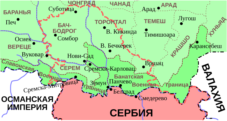
English: Borders of modern Vojvodina, imposed on southern regions of the Kingdom of Hungary (1861-1873) |
| Source | Own work |
| Author | Jaspe |
Licensing
[edit]
| I, the copyright holder of this work, release this work into the public domain. This applies worldwide. In some countries this may not be legally possible; if so: I grant anyone the right to use this work for any purpose, without any conditions, unless such conditions are required by law. |
File history
Click on a date/time to view the file as it appeared at that time.
| Date/Time | Thumbnail | Dimensions | User | Comment | |
|---|---|---|---|---|---|
| current | 20:03, 18 June 2008 | | 793 × 423 (135 KB) | Jaspe (talk | contribs) | {{Information |Description={{en|1=Vojvodina in XIX cent.}} |Source=Own work by uploader |Author=Jaspe |Date= |Permission= |other_versions= }} {{ImageUpload|full}} Category:Maps of the history of Serbia |
You cannot overwrite this file.
File usage on Commons
The following page uses this file:
File usage on other wikis
The following other wikis use this file:
- Usage on ru.wikipedia.org
Categories:
- Maps of the Habsburg Military Frontier
- Bács-Bodrog County
- Syrmia County
- Torontál County
- Temes County
- Krassó-Szörény County
- Maps of the Habsburg period in the history of Serbia
- Maps of the history of Vojvodina
- Maps of the history of Banat
- Maps of the history of Bačka
- Maps of the history of Syrmia
- SVG political maps of Austria-Hungary