File:Utah State Route 24, Near Mile 92 view in Direction North-West 110814 2.jpg
Jump to navigation
Jump to search

Size of this preview: 800 × 531 pixels. Other resolutions: 320 × 213 pixels | 640 × 425 pixels | 1,024 × 680 pixels | 1,280 × 850 pixels | 2,560 × 1,701 pixels | 3,199 × 2,125 pixels.
Original file (3,199 × 2,125 pixels, file size: 3.16 MB, MIME type: image/jpeg)
Captions
Captions
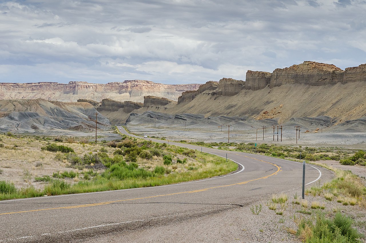
Utah State Route 24, at mile 92
Summary
[edit]
| Description |
English: Utah State Route 24, at mile 92 |
| Date | Taken on 14 August 2011, 14:12:43 |
| Source | Own work |
| Author | DXR |
| Camera location | | View this and other nearby images on: OpenStreetMap |
|---|
|
Licensing
[edit]
I, the copyright holder of this work, hereby publish it under the following license:
This file is licensed under the Creative Commons Attribution-Share Alike 3.0 Unported license.
- You are free:
- to share – to copy, distribute and transmit the work
- to remix – to adapt the work
- Under the following conditions:
- attribution – You must give appropriate credit, provide a link to the license, and indicate if changes were made. You may do so in any reasonable manner, but not in any way that suggests the licensor endorses you or your use.
- share alike – If you remix, transform, or build upon the material, you must distribute your contributions under the same or compatible license as the original.
File history
Click on a date/time to view the file as it appeared at that time.
| Date/Time | Thumbnail | Dimensions | User | Comment | |
|---|---|---|---|---|---|
| current | 12:53, 8 February 2014 | | 3,199 × 2,125 (3.16 MB) | DXR (talk | contribs) | User created page with UploadWizard |
You cannot overwrite this file.
File usage on Commons
The following 24 pages use this file:
- Colorado Plateau
- User:Beria/POTY per date
- User:DXR/FP
- User:DXR/Utah
- User:Graphium/Favorites
- User:Miya/POTY/2014
- User:Ö/Best/2014
- User talk:DXR/Archive 2
- Commons:Featured picture candidates/File:Utah State Route 24, Near Mile 92 view in Direction North-West 110814 2.jpg
- Commons:Featured picture candidates/Log/February 2014
- Commons:Featured pictures/Places/Other
- Commons:Featured pictures/chronological/2014-A
- Commons:Files used on the AARoads Wiki/70
- Commons:Picture of the Year/2014/Candidates
- Commons:Picture of the Year/2014/R1/Gallery/2014-A
- Commons:Picture of the Year/2014/R1/Gallery/ALL
- Commons:Picture of the Year/2014/R1/Gallery/Infrastructure
- Commons:Picture of the Year/2014/R1/Gallery/M02
- Commons:Picture of the Year/2014/R1/Results/Candidates
- Commons:Picture of the Year/2014/R1/Results/Candidates/Infrastructure
- Commons:Picture of the Year/2014/R1/Results/Infrastructure
- Commons:Picture of the Year/2014/R1/v/Utah State Route 24, Near Mile 92 view in Direction North-West 110814 2.jpg
- Commons:Quality images/Subject/Architecture/Transport Infrastructure/Other/Archive
- Commons:Quality images candidates/Archives February 14 2014
File usage on other wikis
The following other wikis use this file:
- Usage on en.wikipedia.org
- Usage on fr.wikipedia.org
- Usage on lt.wikipedia.org
- Usage on sr.wikipedia.org
- Usage on vi.wikipedia.org