File:Brussels in Belgium and the European Union.svg
Jump to navigation
Jump to search

Size of this PNG preview of this SVG file: 680 × 520 pixels. Other resolutions: 314 × 240 pixels | 628 × 480 pixels | 1,004 × 768 pixels | 1,280 × 979 pixels | 2,560 × 1,958 pixels.
Original file (SVG file, nominally 680 × 520 pixels, file size: 2.37 MB)
Captions
Captions
Add a one-line explanation of what this file represents
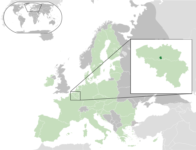
| Description | Brussels in Belgium and the European Union | ||
| Date | |||
| Source |
self-made This W3C-unspecified vector image was created with Inkscape . |
||
| Author | Ssolbergj | ||
| Permission (Reusing this file) |
|
File history
Click on a date/time to view the file as it appeared at that time.
| Date/Time | Thumbnail | Dimensions | User | Comment | |
|---|---|---|---|---|---|
| current | 16:44, 25 August 2021 | | 680 × 520 (2.37 MB) | DankJae (talk | contribs) | Removed UK from EU, changed inset |
| 20:02, 1 August 2013 |  | 680 × 520 (2.37 MB) | Klodde (talk | contribs) | Lines | |
| 19:55, 1 August 2013 |  | 680 × 520 (2.37 MB) | Klodde (talk | contribs) | European Union | |
| 00:43, 1 August 2013 |  | 680 × 520 (2.36 MB) | Klodde (talk | contribs) | Modern version | |
| 22:45, 7 April 2009 |  | 593 × 454 (1.12 MB) | Ssolbergj (talk | contribs) | impr | |
| 22:48, 25 July 2008 |  | 593 × 454 (1.12 MB) | Ssolbergj (talk | contribs) | {{Information |Description= |Source= |Date= |Author= |Permission= |other_versions= }} | |
| 22:41, 25 July 2008 |  | 593 × 454 (1.12 MB) | Ssolbergj (talk | contribs) | {{Information |Description= |Source= |Date= |Author= |Permission= |other_versions= }} | |
| 20:05, 7 July 2008 |  | 585 × 451 (645 KB) | Ssolbergj (talk | contribs) | {{Information |Description= |Source= |Date= |Author= |Permission= |other_versions= }} | |
| 21:07, 4 July 2008 |  | 585 × 451 (682 KB) | Ssolbergj (talk | contribs) | {{Information |Description= |Source= |Date= |Author= |Permission= |other_versions= }} | |
| 21:42, 8 January 2008 |  | 582 × 451 (681 KB) | Ssolbergj (talk | contribs) | {{Information |Description= |Source= |Date= |Author= |Permission= |other_versions= }} |
You cannot overwrite this file.
File usage on Commons
The following page uses this file:
File usage on other wikis
The following other wikis use this file:
- Usage on ace.wikipedia.org
- Usage on af.wikipedia.org
- Usage on an.wikipedia.org
- Usage on ar.wikipedia.org
- Usage on arz.wikipedia.org
- Usage on bi.wikipedia.org
- Usage on bn.wikipedia.org
- Usage on bs.wikipedia.org
- Usage on en.wikipedia.org
- Usage on eu.wikipedia.org
- Usage on fiu-vro.wikipedia.org
- Usage on fi.wikipedia.org
- Usage on fr.wikipedia.org
- Usage on gag.wikipedia.org
- Usage on gu.wikipedia.org
- Usage on gv.wikipedia.org
- Usage on hak.wikipedia.org
- Usage on he.wikipedia.org
- Usage on hif.wikipedia.org
- Usage on hr.wikipedia.org
- Usage on ht.wikipedia.org
- Usage on id.wikipedia.org
- Usage on incubator.wikimedia.org
- Usage on ja.wikipedia.org
- Usage on jbo.wikipedia.org
- Usage on kn.wikipedia.org
- Usage on ko.wikipedia.org
- Usage on lt.wikipedia.org
- Usage on mi.wikipedia.org
- Usage on mk.wikipedia.org
- Usage on ml.wikipedia.org
- Usage on new.wikipedia.org
- Usage on nl.wikipedia.org
- Usage on nrm.wikipedia.org
- Usage on or.wikipedia.org
- Usage on pa.wikipedia.org
- Usage on pnb.wikipedia.org
- Usage on pt.wikipedia.org
- Usage on rm.wikipedia.org
- Usage on sah.wikipedia.org
- Usage on sh.wikipedia.org
View more global usage of this file.