File:Zimbabwe location map.svg
Jump to navigation
Jump to search

Size of this PNG preview of this SVG file: 661 × 600 pixels. Other resolutions: 265 × 240 pixels | 529 × 480 pixels | 846 × 768 pixels | 1,128 × 1,024 pixels | 2,257 × 2,048 pixels | 832 × 755 pixels.
Original file (SVG file, nominally 832 × 755 pixels, file size: 193 KB)
Captions
Captions
Add a one-line explanation of what this file represents
Summary[edit]
| Description |
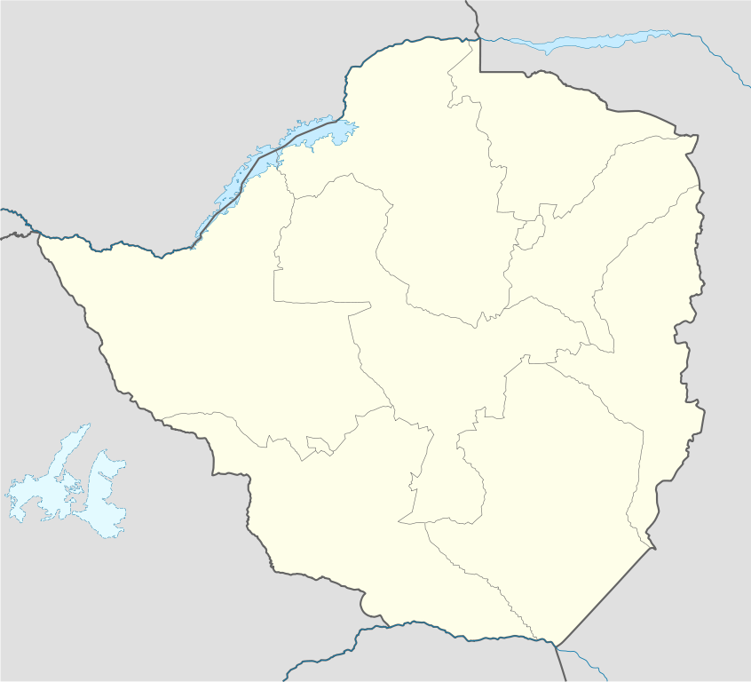
Deutsch: Positionskarte von Simbabwe
Quadratische Plattkarte, N-S-Streckung 105 %. Geographische Begrenzung der Karte:
English: Location map of Zimbabwe
Equirectangular projection, N/S stretching 105 %. Geographic limits of the map:
|
| Date | |
| Source |
own work, using
|
| Author | NordNordWest |
| Other versions |
|


|
This map has been made or improved in the German Kartenwerkstatt (Map Lab). You can propose maps to improve as well.
|
Licensing[edit]
I, the copyright holder of this work, hereby publish it under the following licenses:

|
Permission is granted to copy, distribute and/or modify this document under the terms of the GNU Free Documentation License, Version 1.2 or any later version published by the Free Software Foundation; with no Invariant Sections, no Front-Cover Texts, and no Back-Cover Texts. A copy of the license is included in the section entitled GNU Free Documentation License. |
This file is licensed under the Creative Commons Attribution-Share Alike 3.0 Unported license.
- You are free:
- to share – to copy, distribute and transmit the work
- to remix – to adapt the work
- Under the following conditions:
- attribution – You must give appropriate credit, provide a link to the license, and indicate if changes were made. You may do so in any reasonable manner, but not in any way that suggests the licensor endorses you or your use.
- share alike – If you remix, transform, or build upon the material, you must distribute your contributions under the same or compatible license as the original.
You may select the license of your choice.
File history
Click on a date/time to view the file as it appeared at that time.
| Date/Time | Thumbnail | Dimensions | User | Comment | |
|---|---|---|---|---|---|
| current | 17:49, 13 August 2008 | | 832 × 755 (193 KB) | NordNordWest (talk | contribs) | {{Information |Description= {{de|Positionskarte von Simbabwe}} Quadratische Plattkarte, N-S-Streckung 105 %. Geographische Begrenzung der Karte: * N: 15.2° S * S: 22.8° S * W: 24.8° O * O: 33.6° O {{en|Location map of [[:en:Zimbabwe|Z |
You cannot overwrite this file.
File usage on Commons
The following 21 pages use this file:
- User:NordNordWest/Gallery/Location maps
- File:Bulawayo in Zimbabwe.svg
- File:Bulawayo in Zimbabwe (special marker).svg
- File:Flag map of Rhodesia (1964–1968).svg
- File:Flag map of Southern Rhodesia (1924–1964).svg
- File:Flag map of Zimbabwe Rhodesia (1979).svg
- File:Harare in Zimbabwe.svg
- File:Harare in Zimbabwe (special marker).svg
- File:Manicaland in Zimbabwe.svg
- File:Mashonaland - Zimbabwe.svg
- File:Mashonaland Central in Zimbabwe.svg
- File:Mashonaland East in Zimbabwe.svg
- File:Mashonaland West in Zimbabwe.svg
- File:Masvingo in Zimbabwe.svg
- File:Matabeleland - Zimbabwe.svg
- File:Matabeleland North in Zimbabwe.svg
- File:Matabeleland South in Zimbabwe.svg
- File:Midlands in Zimbabwe.svg
- File:Provinces affected Gukurahundi.png
- File:Zimbabwe national parks map.jpg
- File:Zimbabwe relief location map.jpg
.svg)
.svg)
.svg)
.svg)
.svg)
File usage on other wikis
The following other wikis use this file:
- Usage on af.wikipedia.org
- Usage on am.wikipedia.org
- Usage on ar.wikipedia.org
- Usage on az.wikipedia.org
- Usage on ba.wikipedia.org
- Usage on be-tarask.wikipedia.org
- Usage on be.wikipedia.org
- Usage on bg.wikipedia.org
- Usage on bn.wikipedia.org
- Usage on bs.wikipedia.org
- Usage on ceb.wikipedia.org
View more global usage of this file.