File:World map temperate.svg
Jump to navigation
Jump to search

Size of this PNG preview of this SVG file: 800 × 406 pixels. Other resolutions: 320 × 162 pixels | 640 × 325 pixels | 1,024 × 520 pixels | 1,280 × 650 pixels | 2,560 × 1,299 pixels | 2,751 × 1,396 pixels.
Original file (SVG file, nominally 2,751 × 1,396 pixels, file size: 2.28 MB)
Captions
Captions
Add a one-line explanation of what this file represents
Summary[edit]
| Description |
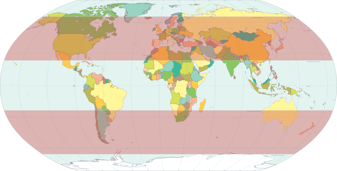
English: Classical temperate zones between 23½° and 66½° latitudes[1] highlighted on world map.
|
| Date | |
| Source | Own work based on: World map pol 2005 v02.svg |
| Author | HorsePunchKid |
| SVG development |
Licensing[edit]
This image is in the public domain because it contains materials that originally came from the United States Central Intelligence Agency's World Factbook.
|
 |
File history
Click on a date/time to view the file as it appeared at that time.
| Date/Time | Thumbnail | Dimensions | User | Comment | |
|---|---|---|---|---|---|
| current | 20:16, 8 February 2012 | | 2,751 × 1,396 (2.28 MB) | M0tty (talk | contribs) | update |
| 18:11, 13 February 2007 |  | 2,753 × 1,538 (2.55 MB) | HorsePunchKid (talk | contribs) | World map with the temperate zones highlighted. Derived via Inkscape from Image:World map pol 2005 v02.svg, which is itself public domain. |
You cannot overwrite this file.
File usage on Commons
There are no pages that use this file.
File usage on other wikis
The following other wikis use this file:
- Usage on en.wikipedia.org
- Usage on es.wikibooks.org
- Usage on et.wikipedia.org
- Usage on fa.wikipedia.org
- Usage on fr.wikipedia.org
- Usage on fr.wiktionary.org
- Usage on ru.wikipedia.org
- Usage on tr.wikipedia.org
- Usage on zh-yue.wikipedia.org