File:World location map-mini.svg
Jump to navigation
Jump to search

Size of this PNG preview of this SVG file: 800 × 400 pixels. Other resolutions: 320 × 160 pixels | 640 × 320 pixels | 1,024 × 512 pixels | 1,280 × 640 pixels | 2,560 × 1,280 pixels.
Original file (SVG file, nominally 800 × 400 pixels, file size: 585 KB)
Captions
Captions
Add a one-line explanation of what this file represents
Summary[edit]
| Description |
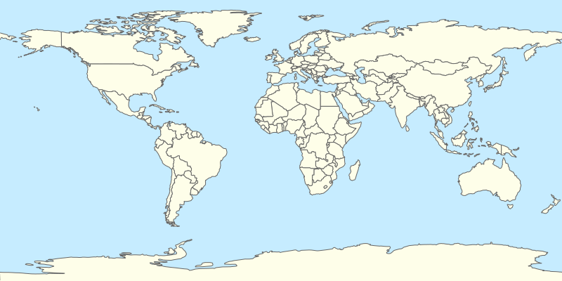
English: Blank political world map for location map templates (en:Equirectangular projection).
Français : Une carte politique vierge du monde (en projection équirectangulaire) avec les nations pour la géolocalisation. Utilisé par fr:Modèle:Géolocalisation/Monde.
Note: on peut aisément mettre en évidence un pays en ajoutant par exemple pour la Russie : #Russie { fill: red; } dans les commandes de style <style>...</style> de fichier SVG. |
| Date | |
| Source | Own work |
| Author | STyx |
| Other versions |
File:World map with nations.svg (deprecated) • File:World location map.svg (thiner features) See also Image:A large blank world map with oceans marked in blue.svg and Image:World map nations.svg. |
This W3C-unspecified vector image was created with Inkscape .
Licensing[edit]
| This work has been released into the public domain by its author, I, STyx. This applies worldwide. In some countries this may not be legally possible; if so: I, STyx grants anyone the right to use this work for any purpose, without any conditions, unless such conditions are required by law. |
File history
Click on a date/time to view the file as it appeared at that time.
| Date/Time | Thumbnail | Dimensions | User | Comment | |
|---|---|---|---|---|---|
| current | 19:39, 18 April 2010 | | 800 × 400 (585 KB) | STyx (talk | contribs) | {{Information |Description={{en|1=?}} |Source={{own}} |Author=STyx |Date= |Permission= |other_versions= }} == {{int:filedesc}} == {{Information |Description={{en}}Blank world map for location map templates (en:Equirectangular projection |
You cannot overwrite this file.
File usage on Commons
There are no pages that use this file.
File usage on other wikis
The following other wikis use this file:
- Usage on fr.wikipedia.org
- Usage on fr.wikinews.org
- Usage on oc.wikipedia.org