File:Windsor Drive shops - geograph.org.uk - 1607412.jpg
Jump to navigation
Jump to search
No higher resolution available.
Windsor_Drive_shops_-_geograph.org.uk_-_1607412.jpg (640 × 426 pixels, file size: 135 KB, MIME type: image/jpeg)
Captions
Captions
Add a one-line explanation of what this file represents
Summary[edit]
| Description |
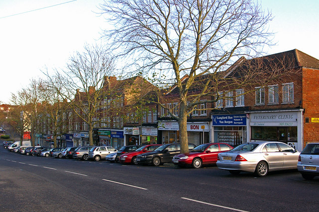
English: Windsor Drive shops Maps suggest that the original shops here, which line the south side of Windsor Drive nears its junction with Warren Road, date from immediately post the Second World War. Subsequent information received from a 1950s resident of the area, Robert Burrell, confirms that this was the case, built as part of the neighbouring council estate. The near group would appear more recent. |
| Date | |
| Source | From geograph.org.uk |
| Author | Ian Capper |
| Attribution (required by the license) | Ian Capper / Windsor Drive shops / |
| Camera location | | View this and other nearby images on: OpenStreetMap |
|---|
_heading:67.00&language=en)
| Object location | | View this and other nearby images on: OpenStreetMap |
|---|
_heading:67.00&language=en)
Licensing[edit]

|
This image was taken from the Geograph project collection. See this photograph's page on the Geograph website for the photographer's contact details. The copyright on this image is owned by Ian Capper and is licensed for reuse under the Creative Commons Attribution-ShareAlike 2.0 license.
|
This file is licensed under the Creative Commons Attribution-Share Alike 2.0 Generic license.
Attribution: Ian Capper
- You are free:
- to share – to copy, distribute and transmit the work
- to remix – to adapt the work
- Under the following conditions:
- attribution – You must give appropriate credit, provide a link to the license, and indicate if changes were made. You may do so in any reasonable manner, but not in any way that suggests the licensor endorses you or your use.
- share alike – If you remix, transform, or build upon the material, you must distribute your contributions under the same or compatible license as the original.
File history
Click on a date/time to view the file as it appeared at that time.
| Date/Time | Thumbnail | Dimensions | User | Comment | |
|---|---|---|---|---|---|
| current | 08:04, 4 March 2011 | | 640 × 426 (135 KB) | GeographBot (talk | contribs) | == {{int:filedesc}} == {{Information |description={{en|1=Windsor Drive shops Maps suggest that the original shops here, which line the south side of Windsor Drive nears its junction with Warren Road, date from immediately post the Second World War. Subse |
You cannot overwrite this file.
File usage on Commons
There are no pages that use this file.