File:West Walton village sign.jpg
Jump to navigation
Jump to search
No higher resolution available.
West_Walton_village_sign.jpg (640 × 429 pixels, file size: 98 KB, MIME type: image/jpeg)
Captions
Captions
Add a one-line explanation of what this file represents
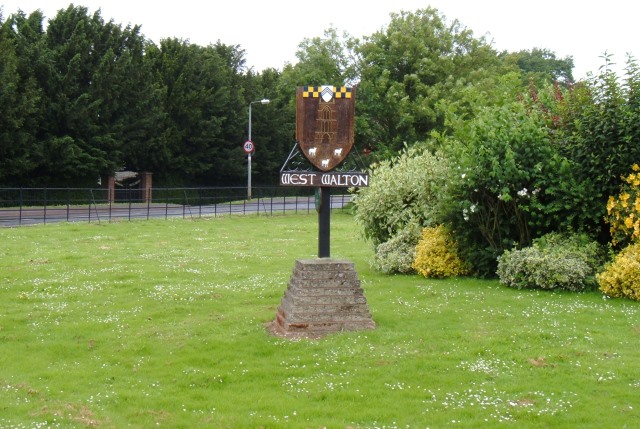
| Description | Saint Andrew Parish church, Letherinsett, Norfolk | ||
| Date | |||
| Source | https://www.geograph.org.uk/photo/481496 | ||
| Author | Martin Pearman | ||
| Permission (Reusing this file) |
This file is licensed under the Creative Commons Attribution-Share Alike 2.0 Generic license. Attribution: Martin Pearman
|
||
| Attribution (required by the license) | Martin Pearman / West Walton village sign / | ||

| Camera location | | View this and other nearby images on: OpenStreetMap |
|---|
_heading:315.00&language=en)
| Object location | | View this and other nearby images on: OpenStreetMap |
|---|
_heading:315.00&language=en)
File history
Click on a date/time to view the file as it appeared at that time.
| Date/Time | Thumbnail | Dimensions | User | Comment | |
|---|---|---|---|---|---|
| current | 18:05, 28 February 2009 | | 640 × 429 (98 KB) | Stavros1 (talk | contribs) | {{Information |Description= Saint Andrew Parish church, Letherinsett, Norfolk |Source=http://www.geograph.org.uk/photo/481496 |Date=Saturday, 30 June, 2007 |Author=Martin Pearman |Permission= {{Geograph|481496|Martin Pearman }} |other_versions= }} [[Ca |
You cannot overwrite this file.
File usage on Commons
The following page uses this file:
File usage on other wikis
The following other wikis use this file:
- Usage on ceb.wikipedia.org
- Usage on cy.wikipedia.org
- Usage on en.wikipedia.org
- Usage on es.wikipedia.org
- Usage on fa.wikipedia.org
- Usage on fr.wikipedia.org
- Usage on it.wikipedia.org
- Usage on lld.wikipedia.org
- Usage on pl.wikipedia.org
- Usage on www.wikidata.org