File:Washington State Route 294 topo (1966).png
Jump to navigation
Jump to search
Size of this preview: 800 × 436 pixels. Other resolutions: 320 × 174 pixels | 640 × 349 pixels | 1,254 × 683 pixels.
Original file (1,254 × 683 pixels, file size: 1.99 MB, MIME type: image/png)
Captions
Captions
Add a one-line explanation of what this file represents
| Description |
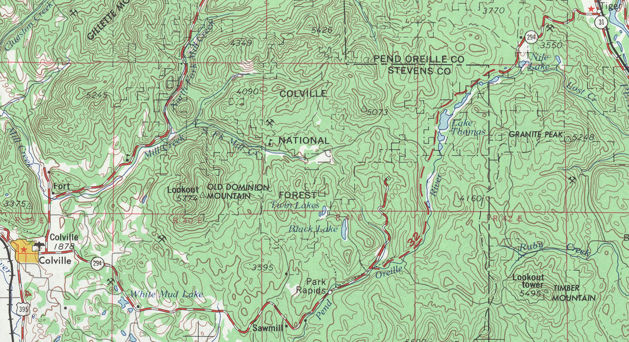
English: A map showing the original route of Washington State Route 294 in 1966, including the gap. |
|||
| Date | ||||
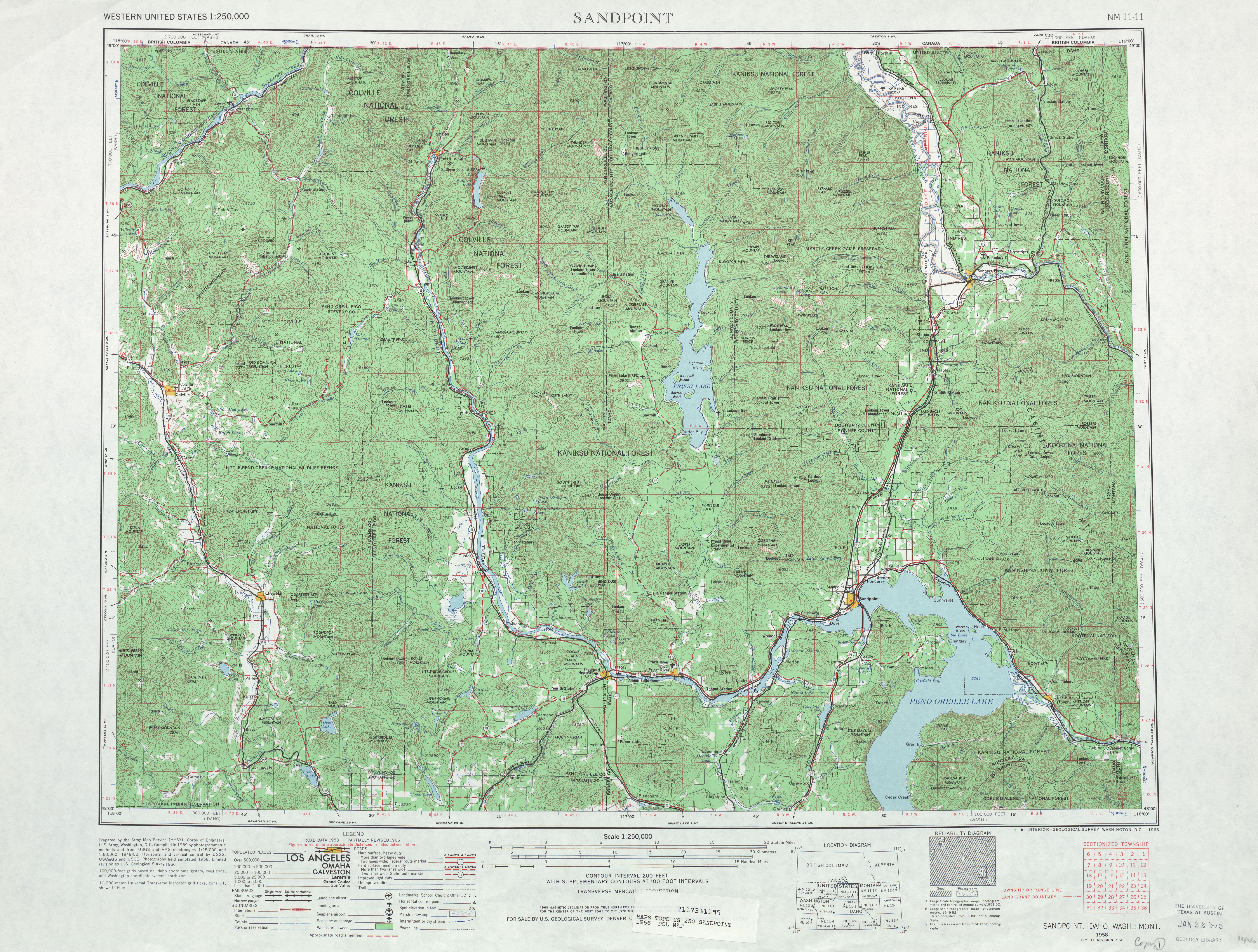
| Source | USGS Map: Sandpoint, 1966 | |||
| Author | United States Geological Survey | |||
| Permission (Reusing this file) |
|
File history
Click on a date/time to view the file as it appeared at that time.
| Date/Time | Thumbnail | Dimensions | User | Comment | |
|---|---|---|---|---|---|
| current | 20:39, 1 July 2009 | | 1,254 × 683 (1.99 MB) | ComputerGuy890100 (talk | contribs) | {{Information |Description={{en|1=A map showing the original route of w:Washington State Route 294 in 1966, including the gap.}} |Source=[http://www.lib.utexas.edu/maps/topo/250k/txu-pclmaps-topo-us-sandpoint-1966.jpg USGS Map: Sandpoint, 1966] |Auth |
You cannot overwrite this file.
File usage on Commons
The following page uses this file:
File usage on other wikis
The following other wikis use this file:
- Usage on en.wikipedia.org
.png&oldid=562889717)