File:Wasenmoos im Winter.jpg
Jump to navigation
Jump to search

Size of this preview: 800 × 533 pixels. Other resolutions: 320 × 213 pixels | 640 × 427 pixels | 1,024 × 683 pixels | 1,280 × 853 pixels | 2,560 × 1,707 pixels | 3,888 × 2,592 pixels.
Original file (3,888 × 2,592 pixels, file size: 5 MB, MIME type: image/jpeg)
Captions
Captions
Add a one-line explanation of what this file represents
Summary[edit]
| Description |
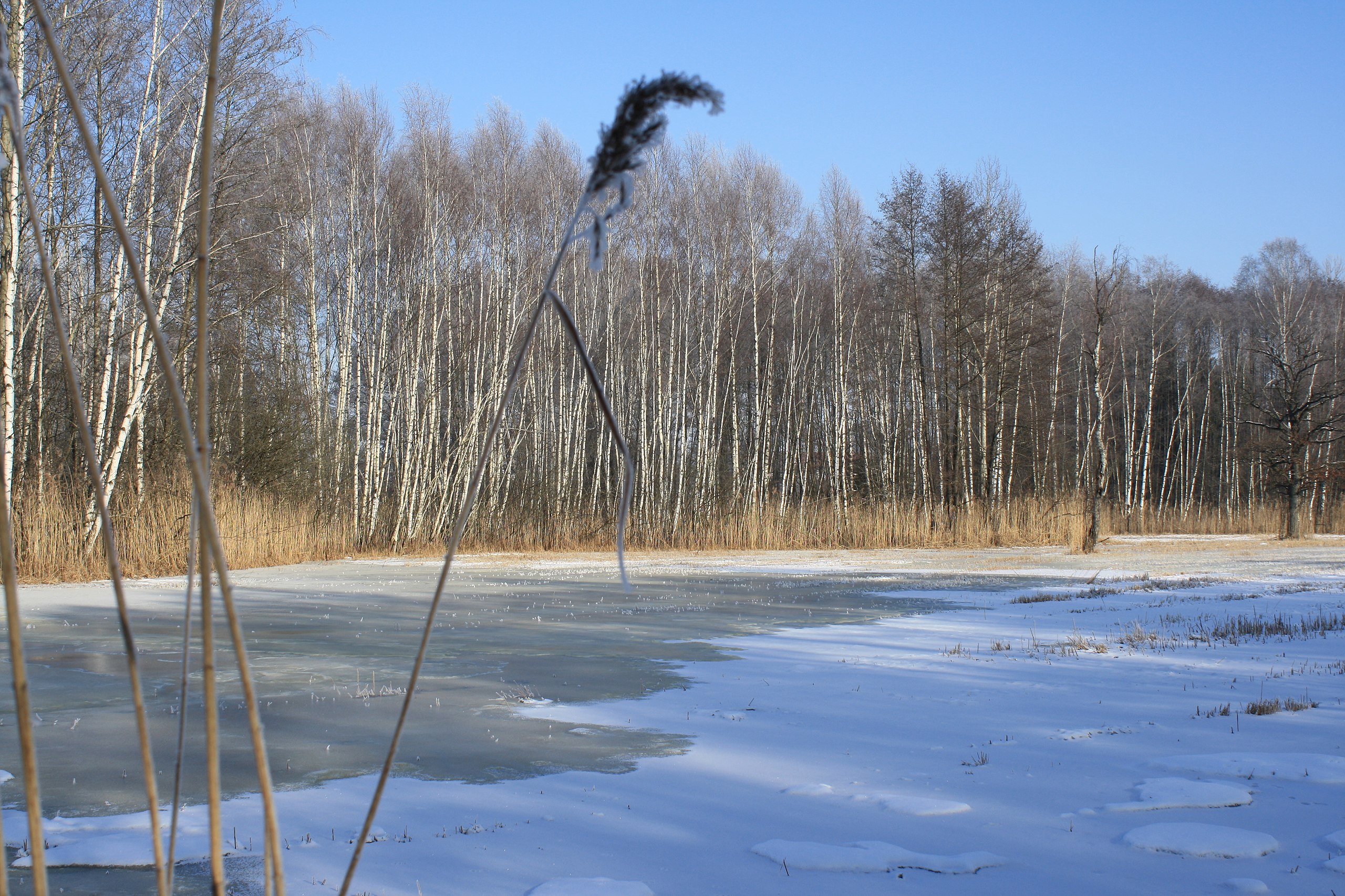
Deutsch: Das Naturschutzgebiet Wassenmoos, ein Feuchtgebiet südöstlich des Ortes Grünkraut. Quellgebiet der Scherzach |
| Date | |
| Source | Roland Nonnenmacher, D-71579 Spiegelberg |
| Author | Roland Nonnenmacher, D- 71579 Spiegelberg |
| Camera location | | View this and other nearby images on: OpenStreetMap |
|---|
==
Licensing[edit]

|
The copyright holder of this file allows anyone to use it for any purpose, provided that the copyright holder is properly attributed. Redistribution, derivative work, commercial use, and all other use is permitted. |
|
|
Original upload log[edit]
Transferred from de.wikipedia to Commons by Jutta234 using CommonsHelper.
The original description page was here. All following user names refer to de.wikipedia.
- 2009-02-01 13:02 Roland Nonnenmacher 3888×2592× (5247406 bytes) <nowiki>{{Wasenmoos |Beschreibung = Das Naturschutzgebiet Wassenmoos, ein Feuchtgebiet südöstlich des Ortes Grünkraut. Quellgebiet der Scherzach |Quelle = Roland Nonnenmacher, D-71579 Spiegelberg|Urheber = Roland Nonnenmacher, 71579/nowiki>
File history
Click on a date/time to view the file as it appeared at that time.
| Date/Time | Thumbnail | Dimensions | User | Comment | |
|---|---|---|---|---|---|
| current | 02:34, 31 May 2010 | | 3,888 × 2,592 (5 MB) | JuTa (talk | contribs) | {{Information |Description={{de|Das Naturschutzgebiet Wassenmoos, ein Feuchtgebiet südöstlich des Ortes Grünkraut. Quellgebiet der Scherzach}} |Source=Transferred from [http://de.wikipedia.org de.wikipedia]; transferred to Commons by User:Jutta234 |
You cannot overwrite this file.
File usage on Commons
The following page uses this file:
File usage on other wikis
The following other wikis use this file:
- Usage on de.wikipedia.org