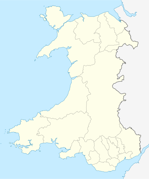
File:Wales location map.svg
Jump to navigation
Jump to search

Size of this PNG preview of this SVG file: 501 × 599 pixels. Other resolutions: 201 × 240 pixels | 401 × 480 pixels | 642 × 768 pixels | 856 × 1,024 pixels | 1,713 × 2,048 pixels | 1,047 × 1,252 pixels.
Original file (SVG file, nominally 1,047 × 1,252 pixels, file size: 237 KB)
Captions
Captions
Add a one-line explanation of what this file represents
Summary[edit]
| Description |
Quadratische Plattkarte, N-S-Streckung 163 %. Geographische Begrenzung der Karte:
Equirectangular projection, N/S stretching 163 %. Geographic limits of the map:
|
| Date | |
| Source | own work, using United States National Imagery and Mapping Agency data |
| Author | NordNordWest |
| Other versions |
Derivative works of this file: |

|
This map has been made or improved in the German Kartenwerkstatt (Map Lab). You can propose maps to improve as well.
|
Licensing[edit]
I, the copyright holder of this work, hereby publish it under the following license:
This file is licensed under the Creative Commons Attribution-Share Alike 3.0 Unported license.
- You are free:
- to share – to copy, distribute and transmit the work
- to remix – to adapt the work
- Under the following conditions:
- attribution – You must give appropriate credit, provide a link to the license, and indicate if changes were made. You may do so in any reasonable manner, but not in any way that suggests the licensor endorses you or your use.
- share alike – If you remix, transform, or build upon the material, you must distribute your contributions under the same or compatible license as the original.
File history
Click on a date/time to view the file as it appeared at that time.
| Date/Time | Thumbnail | Dimensions | User | Comment | |
|---|---|---|---|---|---|
| current | 13:27, 24 June 2009 | | 1,047 × 1,252 (237 KB) | NordNordWest (talk | contribs) | {{Information |Description= {{de|Positionskarte von Wales, Vereinigtes Königreich}} Quadratische Plattkarte, N-S-Streckung 163 %. Geographische Begrenzung der Karte: * N: 53.5° N * S: 51.3° N * W: 5.5° W * |
You cannot overwrite this file.
File usage on Commons
More than 100 pages use this file. The following list shows the first 100 pages that use this file only. A full list is available.
- User:NordNordWest/Gallery/Location maps
- File:2023 North East Wales National Park (Area of Search) draft map.svg
- File:A470-Wales.svg
- File:All-Wales Orange Map.svg
- File:Anglesey in Wales.svg
- File:Blaenau Gwent in Wales.svg
- File:Bridgend in Wales.svg
- File:Caerphilly in Wales.svg
- File:Cardiff in Wales.svg
- File:Carmarthenshire in Wales.svg
- File:Ceredigion in Wales.svg
- File:Clwyd Preserved County in Wales.svg
- File:Clwydian Range and Dee Valley AONB map.svg
- File:Clwydian Range and Dee Valley AONB stages map.svg
- File:Conwy in Wales.svg
- File:Denbighshire in Wales.svg
- File:Dyfed Preserved County in Wales.svg
- File:Flintshire in Wales.svg
- File:Gwent Preserved County in Wales.svg
- File:Gwynedd Preserved County in Wales.svg
- File:Gwynedd in Wales.svg
- File:Map of Owain Glyndŵr's Revolt.svg
- File:Merthyr Tydfil in Wales.svg
- File:Mid Glamorgan Preserved County in Wales.svg
- File:Mid Wales.svg
- File:Mid and South West Wales Map.svg
- File:Mid and West Wales Fire and Rescue Map.svg
- File:Monmouthshire in Wales.svg
- File:NUTS 2 statistical regions of the United Kingdom 2015 map.svg
- File:NUTS 2 statistical regions of the United Kingdom map.svg
- File:NUTS 3 regions of Wales map.svg
- File:Neath Port Talbot in Wales.svg
- File:Newport in Wales.svg
- File:North East Wales Map.svg
- File:North Wales Fire and Rescue Map.svg
- File:North Wales Map.svg
- File:North West Wales.svg
- File:North and Mid Wales map.svg
- File:Pembrokeshire in Wales.svg
- File:Powys Preserved County in Wales.svg
- File:Powys in Wales.svg
- File:Preserved Counties Wales.svg
- File:Rhondda Cynon Taf in Wales.svg
- File:South East Wales.svg
- File:South East and South West Wales map.svg
- File:South Glamorgan Preserved County in Wales.svg
- File:South Wales Fire and Rescue Map.svg
- File:South Wales Map.svg
- File:South West Wales.svg
- File:Swanline Map.png
- File:Swansea District line Map.png
- File:Swansea in Wales.svg
- File:Torfaen in Wales.svg
- File:Vale of Glamorgan in Wales.svg
- File:Wales AONBs map.svg
- File:Wales AONBs map (with local boundaries).svg
- File:Wales Bridgend.svg
- File:Wales Cardiff Capital Region locator map.svg
- File:Wales Carmarthenshire.svg
- File:Wales Ceredigion.svg
- File:Wales City Regions map.svg
- File:Wales Fire and Rescue Services map.svg
- File:Wales Historic Counties map.svg
- File:Wales Historic Counties map Anglesey.svg
- File:Wales Historic Counties map Brecknockshire.svg
- File:Wales Historic Counties map Caernarfonshire.svg
- File:Wales Historic Counties map Cardiganshire.svg
- File:Wales Historic Counties map Carmarthenshire.svg
- File:Wales Historic Counties map Denbighshire.svg
- File:Wales Historic Counties map Flintshire.svg
- File:Wales Historic Counties map Glamorgan.svg
- File:Wales Historic Counties map Merionethshire.svg
- File:Wales Historic Counties map Monmouthshire.svg
- File:Wales Historic Counties map Montgomeryshire.svg
- File:Wales Historic Counties map Pembrokeshire.svg
- File:Wales Historic Counties map Radnorshire.svg
- File:Wales Map 400 x 478.png
- File:Wales Merthyr Tydfil.svg
- File:Wales Mid Wales locator map.svg
- File:Wales National Parks and AONBs map.svg
- File:Wales National Parks and AONBs map (colours).svg
- File:Wales National Parks and AONBs map (colours and labelled).svg
- File:Wales National Parks and AONBs map (labelled).svg
- File:Wales National Parks map.svg
- File:Wales Neath Port Talbot.svg
- File:Wales North Wales locator map.svg
- File:Wales Pembrokeshire.svg
- File:Wales Powys.svg
- File:Wales Principal Areas Density Map.svg
- File:Wales Principal Areas map (in green).svg
- File:Wales Rhondda Cynon Taf.svg
- File:Wales Swansea.svg
- File:Wales Swansea Bay City Region locator map.svg
- File:Wales Trunk Road Agents map.svg
- File:Wales Vale of Glamorgan.svg
- File:Wales location map subdivisions 1996.svg
- File:Welsh weekly newspapers.jpg
- File:West Glamorgan Preserved County in Wales.svg
- File:West Wales lines Map.png
- File:Wild Wales map.svg
_draft_map.svg)
.svg)
.svg)
.svg)
.svg)
.svg)
View more links to this file.
File usage on other wikis
The following other wikis use this file:
- Usage on af.wikipedia.org
- Usage on ar.wikipedia.org
- Usage on ast.wikipedia.org
- Usage on az.wikipedia.org
- Usage on ba.wikipedia.org
- Usage on bg.wikipedia.org
- Usage on bh.wikipedia.org
- Usage on bn.wikipedia.org
- Usage on br.wikipedia.org
- Dolgellau
- Bangor-is-y-coed
- Aberaeron
- Patrom:Infobox UK place
- Rhaeadr Gwy
- Llanfachraeth (Mon)
- Trefor (Mon)
- Caergybi
- Aberporth
- Beulah (Ceredigion)
- Llanfihangel-yn-Nhywyn
- Abermaw
- Llan-faes (Mon)
- Ynyslas
- Clynnog Fawr
- Ffair-rhos
- Patrom:Location map Kembre
- Bont Goch
- Gilfachreda
- Parc-llyn
- Pennant (Ceredigion)
- Brongest
- Bryngwyn (Ceredigion)
- Brynafan
- Brynhoffnant
- Coed-y-bryn
- Cwmsychbant
View more global usage of this file.