File:Volcanic Activity at Kilauea.jpg
Jump to navigation
Jump to search
Size of this preview: 600 × 600 pixels. Other resolutions: 240 × 240 pixels | 480 × 480 pixels | 768 × 768 pixels | 1,024 × 1,024 pixels | 2,048 × 2,048 pixels | 3,000 × 3,000 pixels.
Original file (3,000 × 3,000 pixels, file size: 5.64 MB, MIME type: image/jpeg)
Captions
Captions
Add a one-line explanation of what this file represents
Summary[edit]
| Description |
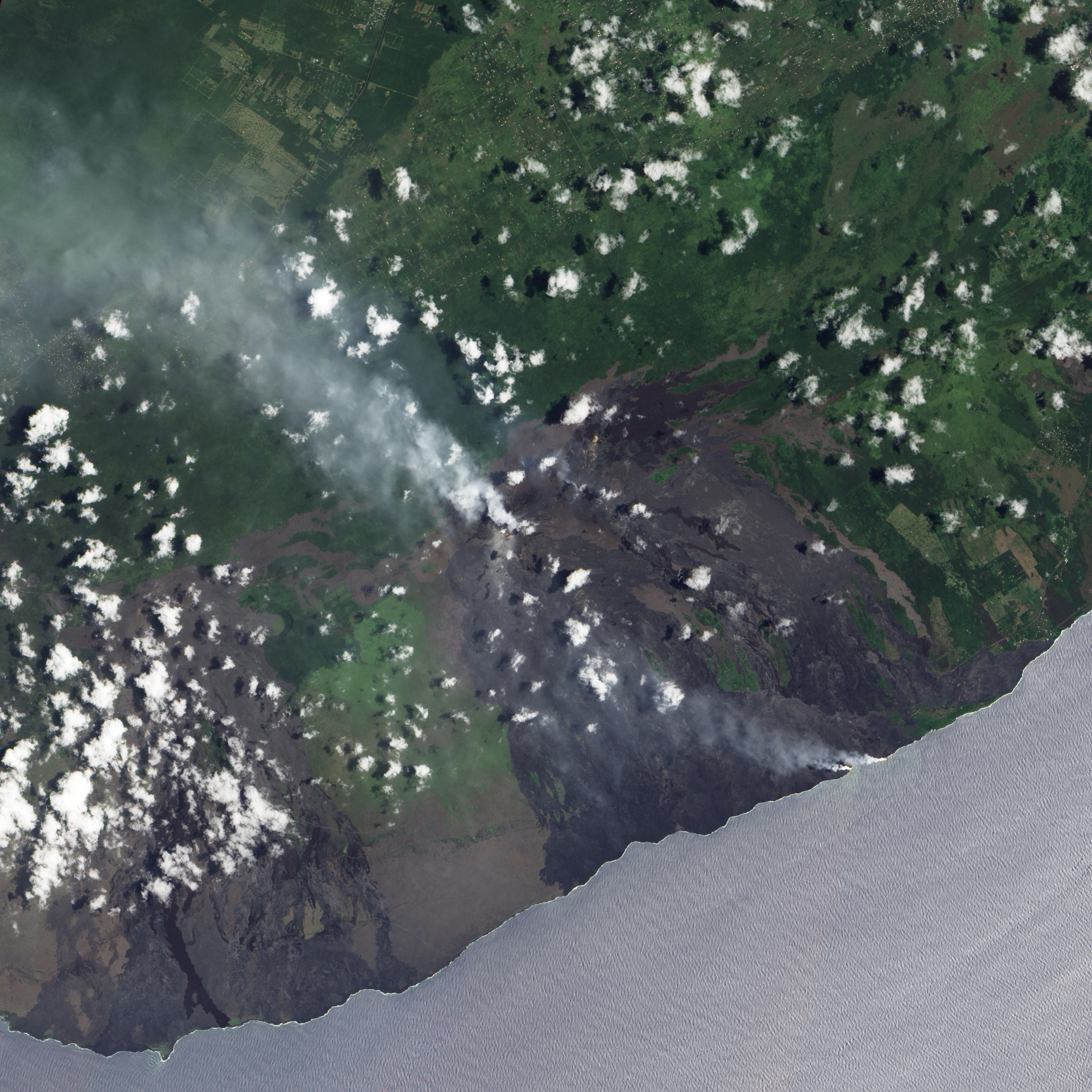
English: The Advanced Land Imager (ALI) on NASA’s Earth Observing-1 satellite captured this true-colour image of plumes continuing to rise from Kilauea Volcano on Hawaii’s big island. Small clouds float overhead, casting their shadows on the land surface below. The relatively light cloud cover allows a clear view of the plume that rises from the Pu‘u ‘O‘o Crater and blows toward the north west. Along the island’s coast, dual small plumes blow in the same direction. These plumes arise from searing lava reaching the ocean water. A close look at this image reveals a landscape scarred by repeated lava flows. Deep brown and charcoal-coloured rock rivers flow to the sea from Kilauea vents. Between the lava flows, brushes of deep green vegetation appear along Hawaii’s southern coast. The ocean water appears pale blue-grey, with a rippled surface. This light ocean colour is likely sun glint—the mirror-like reflection of sunlight off the ocean surface. |
| Date | |
| Source | NASA Earth Observatory |
| Author | Jesse Allen |
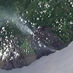
| Other versions | Cropped version : File:Apua Point satellite.jpg |
Instrument: EO-1 - ALI
Licensing[edit]
| This file is in the public domain in the United States because it was solely created by NASA. NASA copyright policy states that "NASA material is not protected by copyright unless noted". (See Template:PD-USGov, NASA copyright policy page or JPL Image Use Policy.) | ||
 |
Warnings:
|
File history
Click on a date/time to view the file as it appeared at that time.
| Date/Time | Thumbnail | Dimensions | User | Comment | |
|---|---|---|---|---|---|
| current | 09:04, 27 May 2009 | | 3,000 × 3,000 (5.64 MB) | Originalwana (talk | contribs) | {{Information |Description={{en|1=The Advanced Land Imager (ALI) on NASA’s Earth Observing-1 satellite captured this true-colour image of plumes continuing to rise from Kilauea Volcano on Hawaii’s big island. Small clouds float overhead, casting their |
You cannot overwrite this file.
File usage on Commons
There are no pages that use this file.
File usage on other wikis
The following other wikis use this file:
- Usage on fi.wikipedia.org