File:Viatges llull-ca.svg
Jump to navigation
Jump to search

Size of this PNG preview of this SVG file: 780 × 432 pixels. Other resolutions: 320 × 177 pixels | 640 × 354 pixels | 1,024 × 567 pixels | 1,280 × 709 pixels | 2,560 × 1,418 pixels.
Original file (SVG file, nominally 780 × 432 pixels, file size: 122 KB)
Captions
Captions
Add a one-line explanation of what this file represents
Summary[edit]
| Description |
English: Blanck map of Mediterranean sea for geolocation ; null projection (en:Equirectangular projection/bilinear projection). Français : Une carte vierge de la mer Méditerranée pour la géolocalisation (image utilisée par fr:Modèle:Géolocalisation/Méditerranée) ; projection nulle (projection bilinéaire). |
| Date |
(UTC) 2008-04-07 |
| Source | |
| Author | STyx |
Licensing[edit]
| I, the copyright holder of this work, release this work into the public domain. This applies worldwide. In some countries this may not be legally possible; if so: I grant anyone the right to use this work for any purpose, without any conditions, unless such conditions are required by law. |
(talk)
|Permission= |other_versions= }}
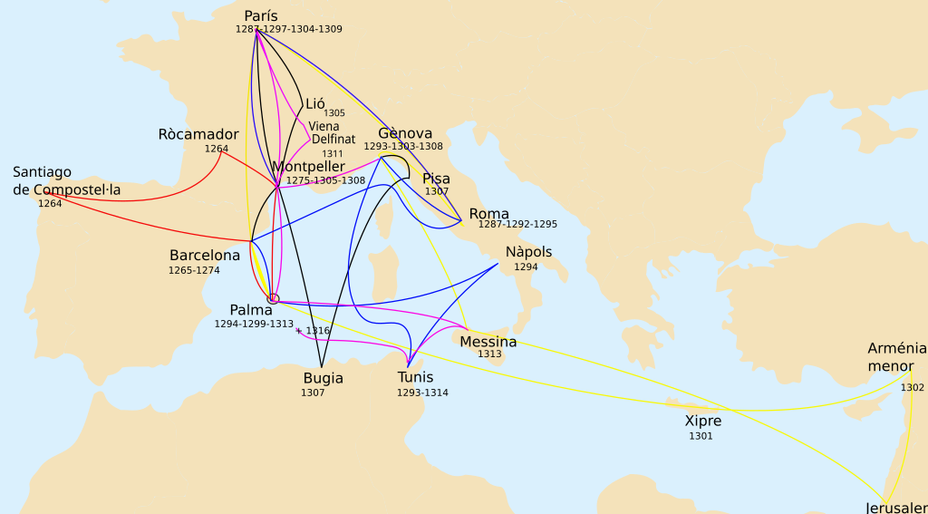
| This is a retouched picture, which means that it has been digitally altered from its original version. Modifications: Ramon Llull trips, XIII century.. The original can be viewed here: Mediterranean.svg:
|
I, the copyright holder of this work, hereby publish it under the following license:
| I, the copyright holder of this work, release this work into the public domain. This applies worldwide. In some countries this may not be legally possible; if so: I grant anyone the right to use this work for any purpose, without any conditions, unless such conditions are required by law. |
Original upload log[edit]
This image is a derivative work of the following images:
- File:Mediterranean.svg licensed with PD-self
- 2008-04-07T18:15:45Z STyx 154x78 (158249 Bytes) {{Information |Description={{en}}Blanck map of Mediterranean sea for geolocation ; null projection ([[:en:Equirectangular projection]]/bilinear projection). {{fr}}Une carte vierge de la mer Méditerranée pour la géolocalisa
Uploaded with derivativeFX
[[Category:Medit
- derivative work: Vatekor
File history
Click on a date/time to view the file as it appeared at that time.
| Date/Time | Thumbnail | Dimensions | User | Comment | |
|---|---|---|---|---|---|
| current | 20:01, 11 May 2024 | | 780 × 432 (122 KB) | Iktsokh (talk | contribs) | Added Cyprus |
| 06:46, 30 April 2016 |  | 819 × 496 (125 KB) | Amadalvarez (talk | contribs) | Wrong map position of Viena | |
| 10:10, 29 April 2016 |  | 819 × 496 (125 KB) | Amadalvarez (talk | contribs) | fixing cropped text | |
| 09:56, 29 April 2016 |  | 775 × 496 (124 KB) | Amadalvarez (talk | contribs) | translation mistakes | |
| 15:41, 11 March 2011 |  | 800 × 500 (191 KB) | Vatekor (talk | contribs) | noves dimensions + Pisa | |
| 09:39, 11 March 2011 |  | 800 × 600 (189 KB) | Vatekor (talk | contribs) | {{Information |Description={{en}}Blanck map of Mediterranean sea for geolocation ; null projection (en:Equirectangular projection/bilinear projection). {{fr}}Une carte vierge de la mer Méditerranée pour la géolocalisation (image utilisée par [[:f |
You cannot overwrite this file.
File usage on Commons
There are no pages that use this file.
File usage on other wikis
The following other wikis use this file:
- Usage on cy.wikipedia.org
- Usage on sv.wikipedia.org