File:VOC Octrooigebied 1.jpg
Jump to navigation
Jump to search
Size of this preview: 800 × 585 pixels. Other resolutions: 320 × 234 pixels | 640 × 468 pixels | 1,024 × 749 pixels | 1,280 × 936 pixels | 2,268 × 1,659 pixels.
Original file (2,268 × 1,659 pixels, file size: 626 KB, MIME type: image/jpeg)
Captions
Captions
Add a one-line explanation of what this file represents
The official trade zone was indicated (several times) in the 1602 Charter of the VOC. That's why I suggest to add a link under "files" to the site where recently an English translation was published of that charter. www.australiaonthemap.org.au/content/view/50/59 AHS encourages this. Peter R the translator
Summary[edit]
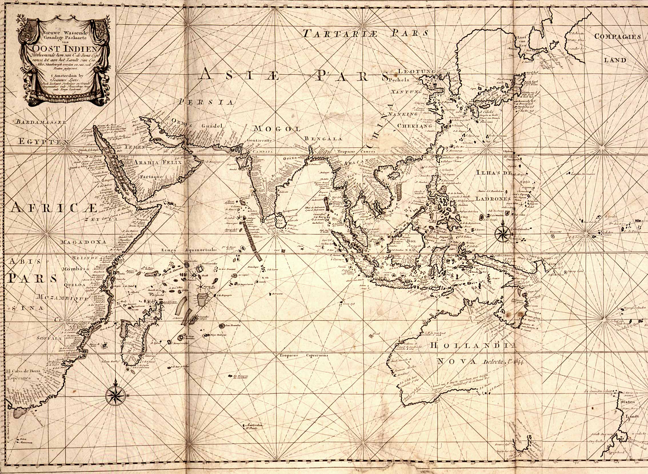
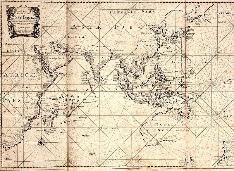
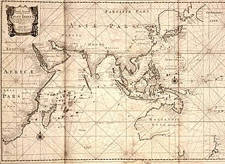
| Description | Map of the East Indies; the official trade zone (octrooigebied) of the VOC according to the VOC Charter, which was between Cape of Good Hope (South Africa) and Street Magallan (South America); printed c. 1700. |
| Date | |
| Source | TANAP |
| Author |
Licensing[edit]
|
This work is in the public domain in its country of origin and other countries and areas where the copyright term is the author's life plus 100 years or fewer. | |
| This file has been identified as being free of known restrictions under copyright law, including all related and neighboring rights. | |
File history
Click on a date/time to view the file as it appeared at that time.
| Date/Time | Thumbnail | Dimensions | User | Comment | |
|---|---|---|---|---|---|
| current | 10:31, 3 May 2008 | | 2,268 × 1,659 (626 KB) | BoH (talk | contribs) | {{Information |Description=Map of the East Indies; the official trade zone (octrooigebied) of the VOC according to the VOC Charter, which was between Cape of Good Hope (South Africa) and Street Magallan (South America); printed c. 1700. |Source=[http://ww |
You cannot overwrite this file.
File usage on Commons
There are no pages that use this file.
File usage on other wikis
The following other wikis use this file:
- Usage on af.wikipedia.org
- Usage on en.wikipedia.org
- Usage on nl.wikipedia.org