File:VAE de-map.png
Jump to navigation
Jump to search

Size of this preview: 755 × 600 pixels. Other resolutions: 302 × 240 pixels | 605 × 480 pixels | 967 × 768 pixels | 1,280 × 1,017 pixels | 1,414 × 1,123 pixels.
Original file (1,414 × 1,123 pixels, file size: 203 KB, MIME type: image/png)
Captions
Captions
Add a one-line explanation of what this file represents
| Description |
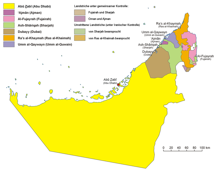
English: Administrative map of the United Arab Emirates in English Français : Carte des divisions administratives des Emirats arabes unis en Anglais Hrvatski: Politički zemljovid Ujedinjenih Arapskih Emirata, inačica na engleskom Polski: Mapa administracyjna Zjednoczonych Emiratów Arabskich, wersja anglojęzyczna 日本語: アラブ首長国連邦の行政区分図(英語版) |
| Date | 2007-01-05, translated 2011-05-16 10:56 (UTC) |
| Source |
|
| Author |
|
| Other versions |
File:UAE en-map.png Englische Version File:UAE hr-map.png Kroatische Version File:ZEA pl-map.png Polnische Version File:UAE ja-map.png Japanische Version |
| This is a retouched picture, which means that it has been digitally altered from its original version. Modifications: translated into German. The original can be viewed here: UAE en-map.png:
|
I, the copyright holder of this work, hereby publish it under the following licenses:
| This file is licensed under the Creative Commons Attribution-Share Alike 3.0 Unported license. | ||
| ||
| This licensing tag was added to this file as part of the GFDL licensing update. |

|
Permission is granted to copy, distribute and/or modify this document under the terms of the GNU Free Documentation License, Version 1.2 or any later version published by the Free Software Foundation; with no Invariant Sections, no Front-Cover Texts, and no Back-Cover Texts. A copy of the license is included in the section entitled GNU Free Documentation License. |
You may select the license of your choice.
Original upload log[edit]
This image is a derivative work of the following images:
- File:UAE_en-map.png licensed with Cc-by-sa-3.0-migrated, GFDL
- 2007-01-05T20:41:30Z Aotearoa 1414x1123 (218912 Bytes) Administrative map of United Arab Emirates. Created by [[pl:User:Aotearoa|Aotearoa]]
Uploaded with derivativeFX
File history
Click on a date/time to view the file as it appeared at that time.
| Date/Time | Thumbnail | Dimensions | User | Comment | |
|---|---|---|---|---|---|
| current | 11:00, 16 May 2011 | | 1,414 × 1,123 (203 KB) | Quedel (talk | contribs) | {{Information |Description={{en|1=Administrative map of the United Arab Emirates in English}} {{fr|1=Carte des divisions administratives des Emirats arabes unis en Anglais}} {{hr|Politički zemljovi |
You cannot overwrite this file.
File usage on Commons
There are no pages that use this file.