File:United States Administrative Divisions.svg
Jump to navigation
Jump to search

Size of this PNG preview of this SVG file: 800 × 495 pixels. Other resolutions: 320 × 198 pixels | 640 × 396 pixels | 1,024 × 633 pixels | 1,280 × 791 pixels | 2,560 × 1,583 pixels | 959 × 593 pixels.
Original file (SVG file, nominally 959 × 593 pixels, file size: 120 KB)
Captions
Captions
Add a one-line explanation of what this file represents
| Description |
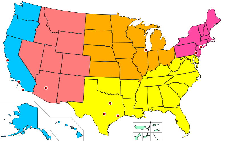
English: United States Administrative Divisions, with 10 most populous cities marked, and AK, HI, and US territories, and a line to allow labeling of American Samoa. |
||||||||
| Date | |||||||||
| Source | Based on File:Blank_US_Map.svg (GFDL User:Theshibboleth, User:Fibonacci, User:AMK1211, User:Howcheng), file:United_States_Administrative_Divisions_Cities.png (GFDL en:User:Phoenix2), and file:United_States_Administrative_Divisions_unnumbered.png (GFDL en:User:Geuiwogbil, en:User:Scifiintel) | ||||||||
| Author | Nandhp | ||||||||
| Permission (Reusing this file) |
|
||||||||
| Other versions | Combined vector version of File:United_States_Administrative_Divisions_Cities.png and File:United_States_Administrative_Divisions_unnumbered.png. Combination of File:United_States_Administrative_Divisions_Cities.svg and File:United_States_Administrative_Divisions_Territories.svg. |

File history
Click on a date/time to view the file as it appeared at that time.
| Date/Time | Thumbnail | Dimensions | User | Comment | |
|---|---|---|---|---|---|
| current | 14:46, 8 June 2010 | | 959 × 593 (120 KB) | Nandhp (talk | contribs) | Fix screwup in File chooser. |
| 14:44, 8 June 2010 |  | 48 × 48 (15 KB) | Nandhp (talk | contribs) | Fix city halo | |
| 14:40, 8 June 2010 |  | 959 × 593 (120 KB) | Nandhp (talk | contribs) | Make cities, state/territory boundaries easier to see. (not all changes applicable to all three images) | |
| 13:21, 30 May 2009 |  | 959 × 593 (108 KB) | Nandhp (talk | contribs) | {{Information |Description={{en|1=United States Administrative Divisions, with 10 most populous cities marked, and AK, HI, and US territories, and a line to allow labeling of American Samoa.}} |Source=Based on File:Blank_US_Map.svg (GFDL [[User:Thesh |
You cannot overwrite this file.
File usage on Commons
There are no pages that use this file.