File:UTC hue4map BRA 2008-06-25.svg
Jump to navigation
Jump to search

Size of this PNG preview of this SVG file: 681 × 600 pixels. Other resolutions: 273 × 240 pixels | 545 × 480 pixels | 872 × 768 pixels | 1,163 × 1,024 pixels | 2,325 × 2,048 pixels | 780 × 687 pixels.
Original file (SVG file, nominally 780 × 687 pixels, file size: 399 KB)
Captions
Captions
Add a one-line explanation of what this file represents
| Description |
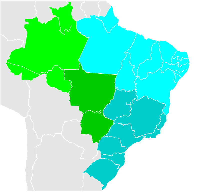
English: Brazil Labelled Map. Português: Mapa Clicável do Brasil. |
|||||
| Date | (UTC) | |||||
| Source | File:Brazil Labelled Map.svg | |||||
| Author |
|
|||||
| Other versions |
Derivative works of this file: UTC hue4map BRA 2013-10-30.svg |
|||||
| SVG development |
|


I, the copyright holder of this work, hereby publish it under the following licenses:
This file is licensed under the Creative Commons Attribution-Share Alike 2.5 Generic, 2.0 Generic and 1.0 Generic license.
- You are free:
- to share – to copy, distribute and transmit the work
- to remix – to adapt the work
- Under the following conditions:
- attribution – You must give appropriate credit, provide a link to the license, and indicate if changes were made. You may do so in any reasonable manner, but not in any way that suggests the licensor endorses you or your use.
- share alike – If you remix, transform, or build upon the material, you must distribute your contributions under the same or compatible license as the original.
| This file is licensed under the Creative Commons Attribution-Share Alike 3.0 Unported license. | ||
| ||
| This licensing tag was added to this file as part of the GFDL licensing update. |

|
Permission is granted to copy, distribute and/or modify this document under the terms of the GNU Free Documentation License, Version 1.2 or any later version published by the Free Software Foundation; with no Invariant Sections, no Front-Cover Texts, and no Back-Cover Texts. A copy of the license is included in the section entitled GNU Free Documentation License. |
You may select the license of your choice.
Original upload log[edit]
This image is a derivative work of the following images:
- File:Brazil Labelled Map.svg licensed with Cc-by-sa-2.5,2.0,1.0, Cc-by-sa-3.0-migrated, GFDL
- 2008-05-22T01:38:14Z Giro720 780x687 (409100 Bytes) Minimizando arquivo, especificando id, uso de folho de estilo.
- 2007-12-01T16:59:52Z Felipe Menegaz 780x687 (653463 Bytes) '
- 2007-06-11T17:51:18Z Felipe Menegaz 780x687 (653184 Bytes) {{User:João Felipe C.S/by}} {{Information |Description= {{en|Brazil Labelled Map.}} {{pt|Mapa Clicável do Brasil.}} ---- {{Inkscape}} |Source= Own work ([[:Image:Brazil State Map.svg]]) |Date= June 11, 2007 |Author= [[User
- 2007-06-11T17:42:27Z Felipe Menegaz 780x687 (514618 Bytes) {{User:João Felipe C.S/by}} {{Information |Description= {{en|Brazil Labelled Map.}} {{pt|Mapa Clicável do Brasil.}} ---- {{Inkscape}} |Source= Own work ([[:Image:Brazil State Map.svg]]) |Date= June 11, 2007 |Author= [[User
Uploaded with derivativeFX
File history
Click on a date/time to view the file as it appeared at that time.
| Date/Time | Thumbnail | Dimensions | User | Comment | |
|---|---|---|---|---|---|
| current | 14:53, 16 October 2011 | | 780 × 687 (399 KB) | TZ master (talk | contribs) | re-arrange style section |
| 19:16, 15 October 2011 |  | 780 × 687 (399 KB) | TZ master (talk | contribs) | this file is called ....2008-06-25.svg - Reverted to version as of 17:21, 29 September 2011 | |
| 00:07, 15 October 2011 |  | 780 × 687 (401 KB) | Thenuts (talk | contribs) | Federal decree released | |
| 12:21, 10 October 2011 |  | 780 × 687 (399 KB) | Thenuts (talk | contribs) | no Federal Decree, change only in news | |
| 01:31, 9 October 2011 |  | 780 × 687 (401 KB) | Fonadier (talk | contribs) | Updating Bahia. http://www2.uol.com.br/aregiao/2011/10/entry_5384.html | |
| 17:21, 29 September 2011 |  | 780 × 687 (399 KB) | TZ master (talk | contribs) | rmv boxes | |
| 17:15, 29 September 2011 |  | 780 × 687 (400 KB) | TZ master (talk | contribs) | svg error | |
| 17:13, 29 September 2011 | No thumbnail | (400 KB) | TZ master (talk | contribs) | thumbnail different in coloring to what SVG looks like in my browser | |
| 17:08, 29 September 2011 |  | 780 × 687 (400 KB) | TZ master (talk | contribs) | {{Information |Description={{en|Brazil Labelled Map.}} {{pt|Mapa Clicável do Brasil.}} ---- {{Inkscape}} |Source=*File:Brazil_Labelled_Map.svg |Date=2011-09-29 17:07 (UTC) |Author=*File:Brazil_Labelled_Map.svg: {{User:João Felipe C.S/Ass}} * |
You cannot overwrite this file.
File usage on Commons
The following 5 pages use this file:
- Timezone
- UTC hue4maps
- File:UTC hue4map BRA 2011-10-13.svg
- File:UTC hue4map iso3166-1 a3 BRA.svg (file redirect)
- File:UTC offset map rygcbm iso3166-1 a3 BRA.svg (file redirect)
File usage on other wikis
The following other wikis use this file:
- Usage on en.wikipedia.org
- Usage on ur.wikipedia.org