File:US map-East Coast.svg
Jump to navigation
Jump to search

Size of this PNG preview of this SVG file: 800 × 495 pixels. Other resolutions: 320 × 198 pixels | 640 × 396 pixels | 1,024 × 633 pixels | 1,280 × 791 pixels | 2,560 × 1,583 pixels | 959 × 593 pixels.
Original file (SVG file, nominally 959 × 593 pixels, file size: 90 KB)
Captions
Captions
Add a one-line explanation of what this file represents
Summary[edit]
| Description |
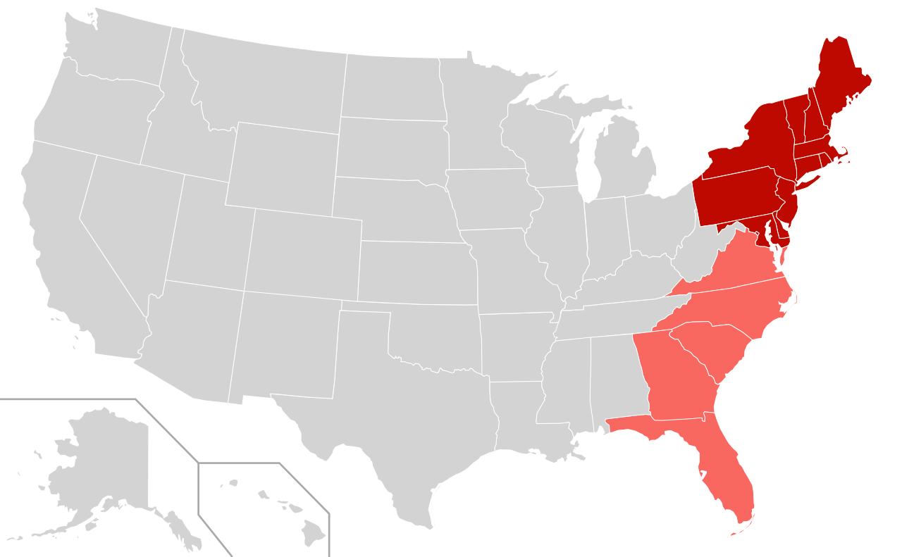
English: Map depicting the East Coast of the United States.
|
| Date | |
| Source |
This file was derived from: |
| Author | User:Derfel73; User:Theshibboleth |
Licensing[edit]
This file is licensed under the Creative Commons Attribution-Share Alike 3.0 Unported license.
- You are free:
- to share – to copy, distribute and transmit the work
- to remix – to adapt the work
- Under the following conditions:
- attribution – You must give appropriate credit, provide a link to the license, and indicate if changes were made. You may do so in any reasonable manner, but not in any way that suggests the licensor endorses you or your use.
- share alike – If you remix, transform, or build upon the material, you must distribute your contributions under the same or compatible license as the original.
File history
Click on a date/time to view the file as it appeared at that time.
| Date/Time | Thumbnail | Dimensions | User | Comment | |
|---|---|---|---|---|---|
| current | 00:09, 11 April 2012 | | 959 × 593 (90 KB) | Southronite (talk | contribs) | Reverted to version as of 14:37, 21 August 2011 Southern States not always considered eastern seaboard. |
| 00:09, 11 April 2012 |  | 959 × 593 (90 KB) | Southronite (talk | contribs) | Reverted to version as of 14:37, 21 August 2011 | |
| 01:15, 26 August 2011 |  | 959 × 593 (140 KB) | Swarm (talk | contribs) | Simplify map: The division between North and South is completely unnecessary. | |
| 14:37, 21 August 2011 |  | 959 × 593 (90 KB) | Derfel73 (talk | contribs) | {{Information |Description ={{en|1=The East coast region of the United States; {{legend|#bd0900|East coast sates}} {{legend|#f86860|East coast states also considered part of the South}}}} |Source ={{Derived from|B |
You cannot overwrite this file.
File usage on Commons
The following page uses this file:
File usage on other wikis
The following other wikis use this file:
- Usage on en.wikipedia.org
- Usage on et.wikipedia.org
- Usage on fr.wikipedia.org
- Usage on fr.wiktionary.org
- Usage on he.wikipedia.org
- Usage on it.wikipedia.org
- Usage on nl.wikipedia.org
- Usage on th.wikipedia.org
- Usage on tr.wikipedia.org