File:USA Virginia location map.svg
Jump to navigation
Jump to search

Size of this PNG preview of this SVG file: 800 × 514 pixels. Other resolutions: 320 × 206 pixels | 640 × 411 pixels | 1,024 × 658 pixels | 1,280 × 823 pixels | 2,560 × 1,645 pixels | 1,500 × 964 pixels.
Original file (SVG file, nominally 1,500 × 964 pixels, file size: 941 KB)
Captions
Captions
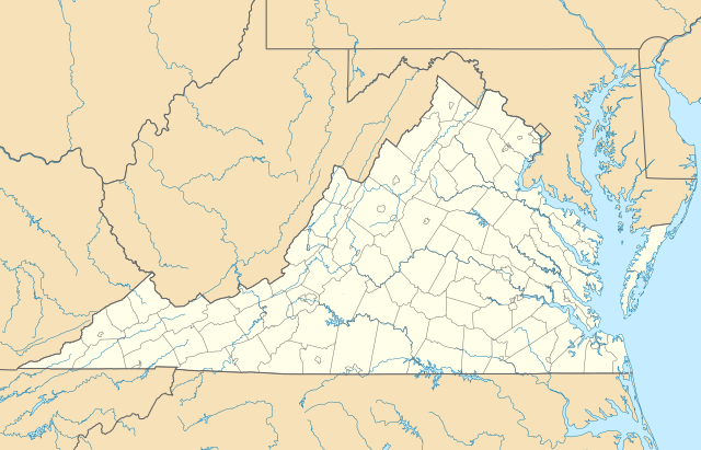
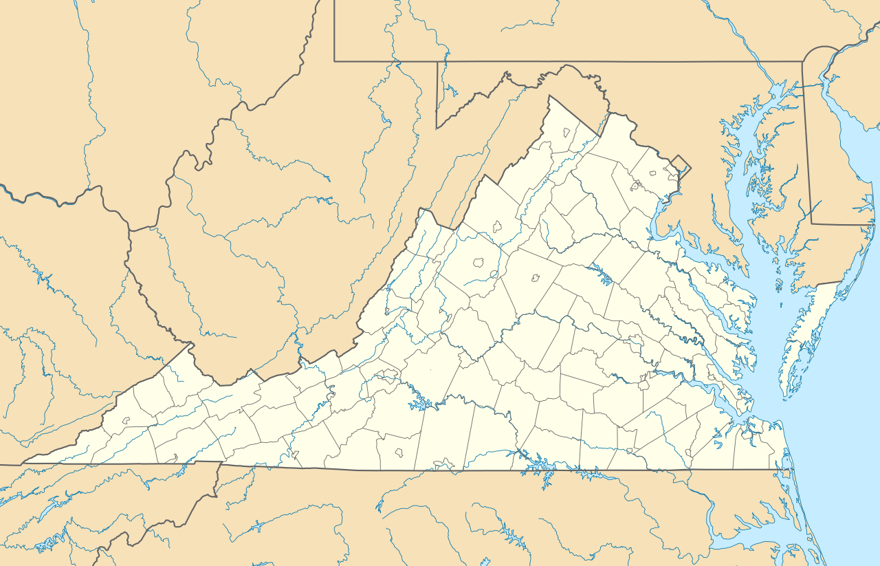
Location map of the state of Virginia.
Summary[edit]
| Description |
Quadratische Plattkarte, N-S-Streckung 130.0 %. Geographische Begrenzung der Karte:
Equirectangular projection, N/S stretching 130.0 %. Geographic limits of the map:
|
||
| Date | |||
| Source | Own work | ||
| Author | Alexrk2 | ||
| Other versions |
Derivative works of this file: Wawa footprint 2012-07.png Derivative works of this file: |
||
| SVG development |
|

Licensing[edit]
I, the copyright holder of this work, hereby publish it under the following licenses:

|
Permission is granted to copy, distribute and/or modify this document under the terms of the GNU Free Documentation License, Version 1.2 or any later version published by the Free Software Foundation; with no Invariant Sections, no Front-Cover Texts, and no Back-Cover Texts. A copy of the license is included in the section entitled GNU Free Documentation License. |
This file is licensed under the Creative Commons Attribution 3.0 Unported license.
- You are free:
- to share – to copy, distribute and transmit the work
- to remix – to adapt the work
- Under the following conditions:
- attribution – You must give appropriate credit, provide a link to the license, and indicate if changes were made. You may do so in any reasonable manner, but not in any way that suggests the licensor endorses you or your use.
You may select the license of your choice.
File history
Click on a date/time to view the file as it appeared at that time.
| Date/Time | Thumbnail | Dimensions | User | Comment | |
|---|---|---|---|---|---|
| current | 14:20, 1 January 2017 | | 1,500 × 964 (941 KB) | Maproom (talk | contribs) | Removed Bedford, as no longer a city. Edit requested at https://en.wikipedia.org/wiki/Wikipedia:Graphics_Lab/Map_workshop#Remove_a_no-longer-extant_city |
| 18:02, 6 July 2009 |  | 1,500 × 964 (941 KB) | Alexrk2 (talk | contribs) | resize | |
| 16:42, 26 June 2009 |  | 1,201 × 772 (944 KB) | Alexrk2 (talk | contribs) | == Beschreibung == {{Information |Description= {{de|Positionskarte von Virginia, USA}} Quadratische Plattkarte, N-S-Streckung 130.0 %. Geographische Begrenzung der Karte: * N: 40.2° N * S: 35.8° N * W: 83.9° W * O: 75.0° W |
You cannot overwrite this file.
File usage on Commons
The following 34 pages use this file:
- File:BJ's Gas Station locations 2020 December.png
- File:BJ's store locations.png
- File:BJ's store locations 2020 December.png
- File:Checkers and Rally's footprint.png
- File:Citgo locations 2020 September.png
- File:Convenience stores of Mid-Atlantic.png
- File:Costco footprint map USA 2021-01.png
- File:Dollar Tree footprint map 2020-12.png
- File:Family Dollar footprint map 2020-12.png
- File:GetGo20-01.png
- File:Harris Teeter footprint 2020-12.png
- File:Harris Teeter footprint 2020-12 fuel.png
- File:M&T Bank footprint.png
- File:Publix footprint 2020 November.png
- File:QuikTrip Footprint 2020 October.png
- File:RaceTrac+RaceWay footprint 2020-01.png
- File:RaceTrac US footprint.png
- File:RaceWay US footprint.png
- File:Rooms To Go footprint map 2021-01.png
- File:Royal Farms stores footprint map.png
- File:Save-A-Lot footprint map.png
- File:Somerset Trust footprint 2020-12.png
- File:Speedway Footprint 2020 August.png
- File:Speedway Jun2018 to Aug2020 comparison.png
- File:Target stores footprint 2020-12.png
- File:USA Virginia relief location map.svg
- File:Valero brands branded gas stations 2020-12.png
- File:Walmart branded fuel stations map 2020-12.png
- File:Walmart locations with on-site fuel stations map 2020-20.png
- File:Wawa footprint 2012-07.png
- File:Wawa footprint 2019-10.png
- File:Wawa footprint 2019-12.png
- File:Wawa footprint 2019-12 (fuel locations).png
- File:Wawa footprint 2019-12 (non-fuel locations).png
.png)
.png)
File usage on other wikis
The following other wikis use this file:
- Usage on an.wikipedia.org
- Usage on ar.wikipedia.org
- Usage on ast.wikipedia.org
- Usage on azb.wikipedia.org
- بیرینجی آوبرن دؤیوشو
- برمو بلاف، ویرجینیا
- کروزت، ویرجینیا
- ویندام، ویرجینیا
- لیمنتاون، ویرجینیا
- لیک کارولینا، ویرجینیا
- کارزویل، ویرجینیا
- ویلا هایتس، ویرجینیا
- کلوردیل، ویرجینیا
- ماسانتا اسپرینقز، ویرجینیا
- مکمولین، ویرجینیا
- تمپلتون، ویرجینیا
- بلند، ویرجینیا
- ناتالی، ویرجینیا
- الیستون-لافایت، ویرجینیا
- مریماک، ویرجینیا
- اسپری ویل، ویرجینیا
- کتاوبا، ویرجینیا
- پنتاپس، ویرجینیا
- بردشا، ویرجینیا
- اسکایلر، ویرجینیا
- الیستون، ویرجینیا
- چارلز سیتی، ویرجینیا
- هنری فورک، ویرجینیا
- تویین لیک، ویرجینیا
- یوقاویل، ویرجینیا
- دینویدی، ویرجینیا
- مدیلبروک، ویرجینیا
- اسکاتلند، ویرجینیا
- بریسی، ویرجینیا
- تاینادیل، ویرجینیا
- ماساناتن، ویرجینیا
- چرچویل، ویرجینیا
- فری یونیون، ویرجینیا
- کلوور، ویرجینیا
- دانته، ویرجینیا
- یونیون لول، ویرجینیا
- شاونی لند، ویرجینیا
- میدوبروک، ویرجینیا
- دیلویل، ویرجینیا
- ریون، ویرجینیا
- کاپرهیل، ویرجینیا
- سندی لول، ویرجینیا
- پنهوک، ویرجینیا
View more global usage of this file.