File:USA California Northern location map.svg
Jump to navigation
Jump to search

Size of this PNG preview of this SVG file: 800 × 600 pixels. Other resolutions: 320 × 240 pixels | 640 × 480 pixels | 1,024 × 767 pixels | 1,280 × 959 pixels | 2,560 × 1,919 pixels | 978 × 733 pixels.
Original file (SVG file, nominally 978 × 733 pixels, file size: 430 KB)
Captions
Captions
Northern California
Summary[edit]
| Description |
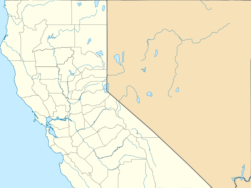
English: Equirectangular projection, N/S. Geographic limits of the map:
|
||
| Date | |||
| Source | Own work based on: USA California location map.svg | ||
| Author | |||
| SVG development | This W3C-invalid locator map was created with Inkscape by NordNordWest.
|
Licensing[edit]
This file is licensed under the Creative Commons Attribution 3.0 Unported license.
- You are free:
- to share – to copy, distribute and transmit the work
- to remix – to adapt the work
- Under the following conditions:
- attribution – You must give appropriate credit, provide a link to the license, and indicate if changes were made. You may do so in any reasonable manner, but not in any way that suggests the licensor endorses you or your use.
File history
Click on a date/time to view the file as it appeared at that time.
| Date/Time | Thumbnail | Dimensions | User | Comment | |
|---|---|---|---|---|---|
| current | 06:27, 8 March 2015 | | 978 × 733 (430 KB) | Banaticus (talk | contribs) | {{Information |Description ={{en|1=Equirectangular projection, N/S. Geographic limits of the map: * N: 41.998403° N * S: 35.789821° N * W: 124.410508° W * E: 114.0506° W}} |Source =File:USA California location map.svg |Author... |
You cannot overwrite this file.
File usage on Commons
There are no pages that use this file.
File usage on other wikis
The following other wikis use this file:
- Usage on ar.wikipedia.org
- Usage on azb.wikipedia.org
- Usage on en.wikipedia.org
- Placerville, California
- Trinidad, California
- Stinson Beach, California
- Yuba City, California
- Mount Vision Fire
- San Joaquin County Historical Society and Museum
- Rattlesnake Fire
- Acampo, California
- Moonlight Fire
- Building 101 (San Francisco)
- Boulevard Park, Sacramento, California
- Template:Infobox protected area/testcases
- Wrights, California
- Military Vehicle Technology Foundation
- Benbow, California
- List of college athletic programs in California
- Snell Valley
- 2002 Winter Olympics torch relay
- Contra Costa Centre, California
- Weller House (Fort Bragg, California)
- Arena Union Elementary School District
- Dharma Realm Buddhist University
- 1984 Summer Olympics torch relay
- Cranston–Geary House
- Peninsula Athletic League
- Boles Fire
- Happy Camp Complex Fire
- User:Banaticus/BSA, Western Region, Area 3, Council locations
- Module:Location map/data/USA California Northern
- Wragg Fire
- Frog Fire
- Bully Fire
- Tassajara Fire
- Trailhead Fire
- Soberanes Fire
- Module:Location map/data/USA California Northern/doc
- Loma Fire
- Ponderosa Fire (2017)
- Helena Fire
- Young Fire
- Parker 2 Fire
- Mud Fire
- Empire Fire
- Railroad Fire
- Mission Fire
View more global usage of this file.