File:USACE Stillhouse Hollow Lake and Dam.jpg
Jump to navigation
Jump to search
Size of this preview: 800 × 533 pixels. Other resolutions: 320 × 213 pixels | 640 × 427 pixels | 1,024 × 683 pixels | 1,500 × 1,000 pixels.
Original file (1,500 × 1,000 pixels, file size: 268 KB, MIME type: image/jpeg)
Captions
Captions
Add a one-line explanation of what this file represents
| Description |
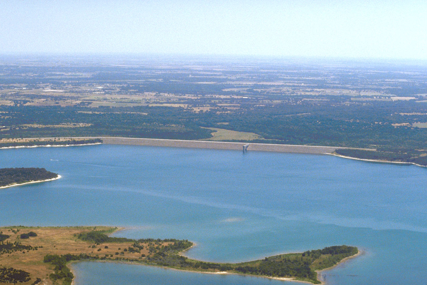
English: Aerial view of Stillhouse Hollow Lake and Dam on the Lampasas River in the Brazos River basin in Bell County, Texas, USA. The lake is located approximately 45 miles (72 km) southwest of Waco, Texas. The U.S. Army Corps of Engineers constructed the dam in 1968 for flood control on the river. View is to the east from behind the dam.
Coordinates: 31°1′21.09″N 97°31′51.29″W / 31.022525°N 97.5309139°W |
|||
| Location | Bell County, Texas, USA | |||
| Date | not specified or unknown | |||
| Source |
U.S. Army Corps of Engineers Digital Visual Library Image page Image description page Digital Visual Library home page |
|||
| Author | U.S. Army Corps of Engineers, photographer not specified or unknown | |||
| Permission (Reusing this file) |
|
File history
Click on a date/time to view the file as it appeared at that time.
| Date/Time | Thumbnail | Dimensions | User | Comment | |
|---|---|---|---|---|---|
| current | 00:27, 19 May 2007 | | 1,500 × 1,000 (268 KB) | DanMS (talk | contribs) | {{Information | Description = {{en|Aerial view of Stillhouse Hollow Lake and Dam on the Lampasas River in the Brazos River basin in Bell County, Texas, USA. The lake is located approximately 45 miles (72 km) southwest of Waco, Texas. The U.S. Army Corp |
You cannot overwrite this file.
File usage on Commons
There are no pages that use this file.
File usage on other wikis
The following other wikis use this file:
- Usage on en.wikipedia.org
- Usage on es.wikipedia.org