File:USACE Lucky Peak Dam Idaho.jpg
Jump to navigation
Jump to search

Size of this preview: 800 × 527 pixels. Other resolutions: 320 × 211 pixels | 640 × 422 pixels | 1,024 × 675 pixels | 1,500 × 989 pixels.
Original file (1,500 × 989 pixels, file size: 480 KB, MIME type: image/jpeg)
Captions
Captions
Add a one-line explanation of what this file represents
| Description |
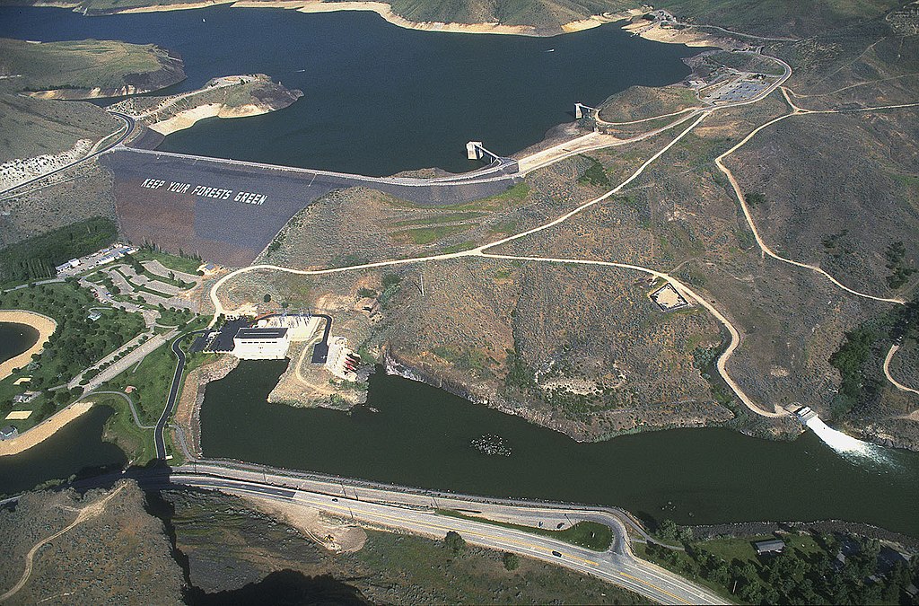
English: Lucky Peak Dam on the Boise River, about 10 miles southeast of Boise, Idaho, USA. |
|||
| Location | Boise, Idaho, USA 43°31′41.7″N 116°3′13.91″W / 43.52825°N 116.0538639°W |
|||
| Date | ||||
| Source |
U.S. Army Corp of Engineers Digital Visual Library Digital Visual Library home page Image page Image description page |
|||
| Author | Bob Heims, U.S. Army Corps of Engineers | |||
| Permission (Reusing this file) |
|
File history
Click on a date/time to view the file as it appeared at that time.
| Date/Time | Thumbnail | Dimensions | User | Comment | |
|---|---|---|---|---|---|
| current | 00:35, 17 March 2007 | | 1,500 × 989 (480 KB) | DanMS (talk | contribs) | {{Information | Description = Lucky Peak Dam on the Boise River, about 10 miles southeast of Boise, Idaho, USA. | Source = U.S. Army Corp of Engineers Digital Visual Library<br />[http://images.usace.army.mil/Main.html Digital Visual Library home pag |
You cannot overwrite this file.
File usage on Commons
The following 2 pages use this file:
File usage on other wikis
The following other wikis use this file:
- Usage on ceb.wikipedia.org
- Usage on de.wikipedia.org
- Usage on en.wikipedia.org
- Usage on es.wikipedia.org
- Usage on fi.wikipedia.org
- Usage on fr.wikipedia.org
- Usage on uk.wikipedia.org
- Usage on www.wikidata.org