File:UNIFIL DEPLOYMENT August 2010.jpg

Original file (2,528 × 1,952 pixels, file size: 990 KB, MIME type: image/jpeg)
Captions
Captions
| Description |
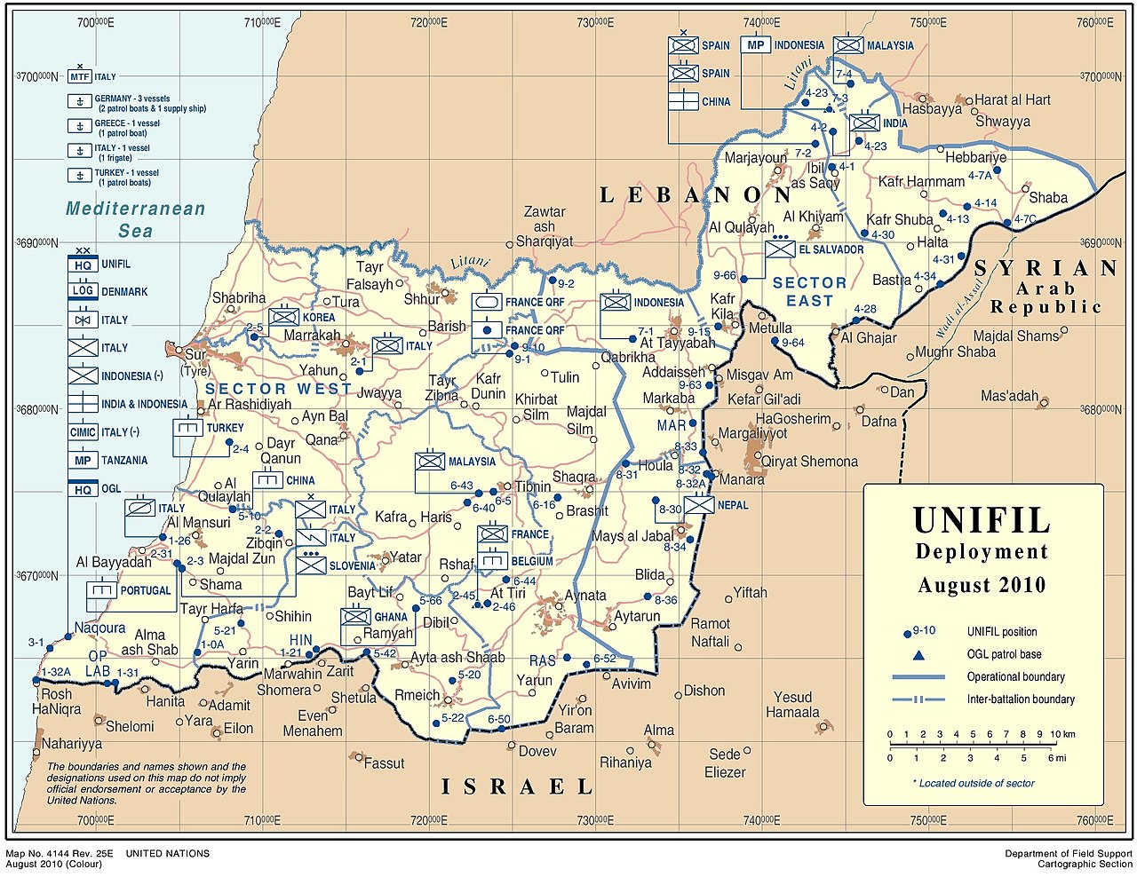
English: United Nations Interim Force in Lebanon (UNIFIL) deployment, August 2010 |
|||
| Date | ||||
| Source |
English: Department of Field Support Cartographic Section, United Nations |
|||
| Author | United Nations Cartographic Section. | |||
| Permission (Reusing this file) |
English: Publication permissions for UN maps:
|

Original upload log[edit]
The original description page was on en.wikipedia (file log). All following user names refer to en.wikipedia.
- 01:18, 13 September 2010 (UTC) AgadaUrbanit 3,300×2,550 (1.1 MB) (Department of Field Support Cartographic Section, United Nations UNIFIL DEPLOYMENT August 2010 http://www.un.org/Depts/Cartographic/map/dpko/unifil.pdf - Publication permissions for UN maps Please read the rules for using UN maps in your publicat)
File history
Click on a date/time to view the file as it appeared at that time.
| Date/Time | Thumbnail | Dimensions | User | Comment | |
|---|---|---|---|---|---|
| current | 17:51, 29 January 2021 | | 2,528 × 1,952 (990 KB) | User-duck (talk | contribs) | Cropped 23 % horizontally, 23 % vertically using CropTool with lossless mode. |
| 12:46, 27 February 2011 |  | 3,300 × 2,550 (1.1 MB) | Kjetil r (talk | contribs) | {{Information |Description=Department of Field Support Cartographic Section, United Nations UNIFIL DEPLOYMENT August 2010 |Source=http://www.un.org/Depts/Cartographic/map/dpko/unifil.pdf (via en:File:UNIFIL DEPLOYMENT August 2010.jpg) |Date=2 |
You cannot overwrite this file.
File usage on Commons
There are no pages that use this file.
File usage on other wikis
The following other wikis use this file:
- Usage on ca.wikipedia.org
- Usage on www.wikidata.org