File:UE-EU-2006.png
Jump to navigation
Jump to search

Size of this preview: 690 × 600 pixels. Other resolutions: 276 × 240 pixels | 552 × 480 pixels | 883 × 768 pixels | 1,150 × 1,000 pixels.
Original file (1,150 × 1,000 pixels, file size: 199 KB, MIME type: image/png)
Captions
Captions
Add a one-line explanation of what this file represents
Summary[edit]
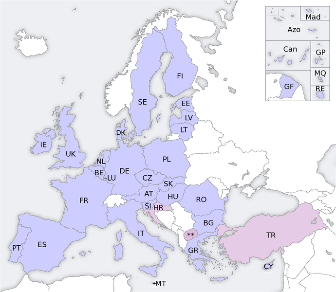
European union candidate countries, map
Licensing[edit]
I, the copyright holder of this work, hereby publish it under the following license:

|
Permission is granted to copy, distribute and/or modify this document under the terms of the GNU Free Documentation License, Version 1.2 or any later version published by the Free Software Foundation; with no Invariant Sections, no Front-Cover Texts, and no Back-Cover Texts. A copy of the license is included in the section entitled GNU Free Documentation License. |
| This file is licensed under the Creative Commons Attribution-Share Alike 3.0 Unported license. | ||
| ||
| This licensing tag was added to this file as part of the GFDL licensing update. |
| ||||||||||||||||||||||||||||||||||||||||||||||||||||||||||||||||||||||||||||||||||||||||||||||||||||||

File history
Click on a date/time to view the file as it appeared at that time.
| Date/Time | Thumbnail | Dimensions | User | Comment | |
|---|---|---|---|---|---|
| current | 09:21, 1 January 2007 | | 1,150 × 1,000 (199 KB) | Kseferovic (talk | contribs) | I updated the map. |
| 01:41, 3 November 2006 |  | 1,150 × 1,000 (182 KB) | Magister Mathematicae (talk | contribs) | denmark was missing | |
| 21:29, 19 June 2006 |  | 1,150 × 1,000 (199 KB) | Бормалагурски~commonswiki (talk | contribs) | divided Serbia and Montenegro | |
| 15:56, 12 February 2006 |  | 1,150 × 1,000 (181 KB) | EU (talk | contribs) | European union candidate countries, map |
You cannot overwrite this file.
File usage on Commons
The following 3 pages use this file:
File usage on other wikis
The following other wikis use this file:
- Usage on de.wikipedia.org
- Usage on fr.wikinews.org
- Usage on he.wikipedia.org
- Usage on nl.wikipedia.org