File:U.S. Virgin Islands.png
Jump to navigation
Jump to search
No higher resolution available.
U.S._Virgin_Islands.png (328 × 353 pixels, file size: 5 KB, MIME type: image/png)
Captions
Captions
Add a one-line explanation of what this file represents
Summary[edit]
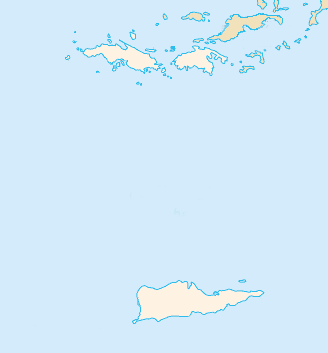
- Blank map of the United States Virgin Islands.
Credits[edit]
- Made on the base of a map from the CIA World Factbook by Obersachse 2007-10-02
This image is in the public domain because it contains materials that originally came from the United States Central Intelligence Agency's World Factbook.
|
 |
File history
Click on a date/time to view the file as it appeared at that time.
| Date/Time | Thumbnail | Dimensions | User | Comment | |
|---|---|---|---|---|---|
| current | 09:31, 2 October 2007 | | 328 × 353 (5 KB) | Obersachse (talk | contribs) | Locator map of the US Virgin Islands made on the base of a map from the CIA World Factbook by Obersachse 2007-10-02 |
You cannot overwrite this file.
File usage on Commons
There are no pages that use this file.
File usage on other wikis
The following other wikis use this file:
- Usage on arz.wikipedia.org
- Usage on de.wikipedia.org
- Usage on es.wikipedia.org
- Usage on fa.wikipedia.org
- Usage on pl.wikipedia.org
- Wyspy Dziewicze Stanów Zjednoczonych
- Charlotte Amalie
- Anna’s Retreat
- Charlotte Amalie West
- Frederiksted
- Cruz Bay
- Grove Place
- Christiansted
- Frederiksted Southeast
- Charlotte Amalie East
- Saint Croix (wyspa Wysp Dziewiczych Stanów Zjednoczonych)
- Saint Thomas (wyspa)
- Saint John (wyspa)
- Park Narodowy Wysp Dziewiczych
- Cyril E. King Airport
- Diecezja Saint Thomas
- Port lotniczy Henry E. Rohlsen
- Fredensborg (Wyspy Dziewicze)
- Charlotte Amalie Harbor Seaplane Base
- Crown Mountain
- Port lotniczy Christiansted
- Szablon:Państwo dane Wyspy Dziewicze Stanów Zjednoczonych
- Świadkowie Jehowy w Stanach Zjednoczonych
- Paul E. Joseph Stadium
- Lionel Roberts Park
- C.A.H.S. Stadium
- Tutu
- Moduł:Mapa/dane/Wyspy Dziewicze Stanów Zjednoczonych
- Moduł:Mapa/dane/VIR
- Cruzan Rum
- Coral Bay (Wyspy Dziewicze)
- Red Hook (Wyspy Dziewicze)
- Little Saint James (wyspa)
- Trunk Cay
- Shark Island (Wyspy Dziewicze)
- Steven Cay
- Cinnamon Cay
- Usage on pl.wikibooks.org