File:Two Fares East---map--p10 Adventure mag 1926-12-31.png
Jump to navigation
Jump to search

Size of this preview: 685 × 600 pixels. Other resolutions: 274 × 240 pixels | 548 × 480 pixels | 932 × 816 pixels.
Original file (932 × 816 pixels, file size: 132 KB, MIME type: image/png)
Captions
Captions
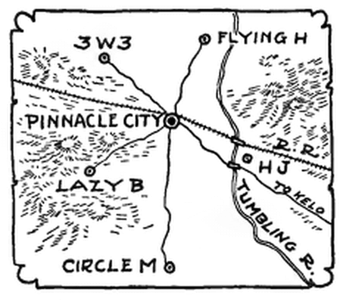
Map showing the fictional Pinnacle City, Tumbling River and the ranches in it and nearby. In "Two Fares East," ''Adventure'' magazine, 1926 Dec 31, p 10:
Summary[edit]
| Description |
English: Rough map in "Two Fares East," a novel in the Adventure magazine, 1926 Dec 31, p 10. A rough sketch showing the fictional Pinnacle City, Tumbling River, and the ranches in it and nearby. |
| Date | |
| Source | https://archive.org/details/AdventureV061N0119261231 |
| Author | Walter Baumhofer |
Licensing[edit]
This work is in the public domain in the United States because it was published (or registered with the U.S. Copyright Office) before January 1, 1929.
Public domain works must be out of copyright in both the United States and in the source country of the work in order to be hosted on the Commons. If the work is not a U.S. work, the file must have an additional copyright tag indicating the copyright status in the source country.
Note: This tag should not be used for sound recordings. |
File history
Click on a date/time to view the file as it appeared at that time.
| Date/Time | Thumbnail | Dimensions | User | Comment | |
|---|---|---|---|---|---|
| current | 17:15, 1 February 2022 | | 932 × 816 (132 KB) | Akme (talk | contribs) | Uploaded a work by Walter Baumhofer from https://archive.org/details/AdventureV061N0119261231 with UploadWizard |
You cannot overwrite this file.
File usage on Commons
There are no pages that use this file.
File usage on other wikis
The following other wikis use this file:
- Usage on en.wikisource.org