File:Train leaving Achnasheen station (geograph 5339220).jpg
Jump to navigation
Jump to search
Size of this preview: 693 × 599 pixels. Other resolutions: 278 × 240 pixels | 555 × 480 pixels | 888 × 768 pixels | 1,184 × 1,024 pixels | 2,368 × 2,048 pixels | 2,775 × 2,400 pixels.
Original file (2,775 × 2,400 pixels, file size: 2.09 MB, MIME type: image/jpeg)
Captions
Captions
Add a one-line explanation of what this file represents
Summary[edit]
.jpg&action=edit§ion=1)
| Description |
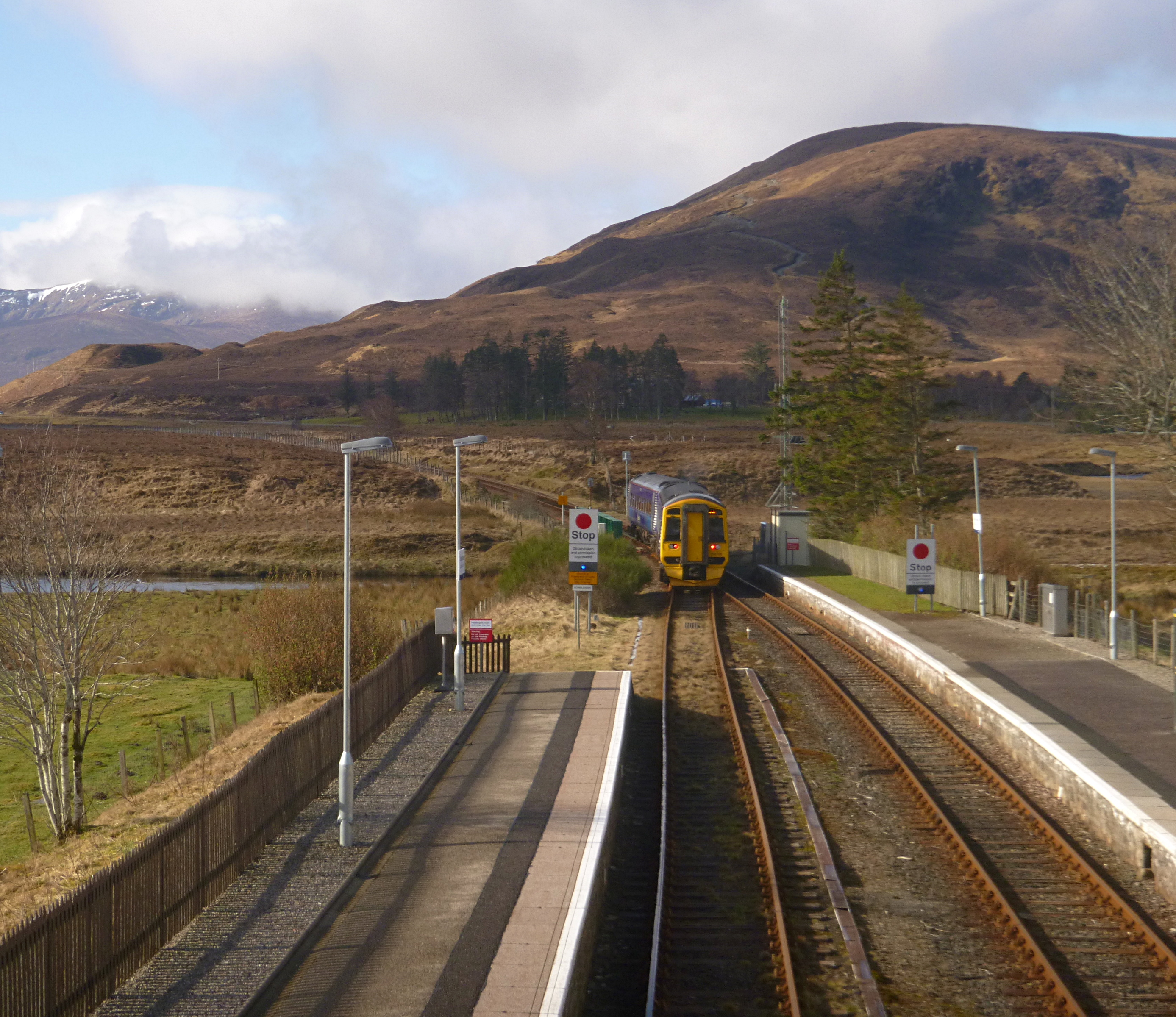
English: Train leaving Achnasheen station |
| Date | |
| Source | From geograph.org.uk |
| Author | Craig Wallace |
| Permission (Reusing this file) |
Creative Commons Attribution Share-alike license 2.0 |
| Attribution (required by the license) | Craig Wallace / Train leaving Achnasheen station / |
| Camera location | | View this and other nearby images on: OpenStreetMap |
|---|
.jpg¶ms=057.579394_N_-005.072056_E_globe:Earth_type:camera_source:geograph-osgb36(NH16425853)_heading:225.00&language=en)
| Object location | | View this and other nearby images on: OpenStreetMap |
|---|
.jpg¶ms=057.579110_N_-005.072530_E_globe:Earth_class:object_type:object_source:geograph-osgb36(NH16395850)_heading:225.00&language=en)
Licensing[edit]
.jpg&action=edit§ion=2)

|
This image was taken from the Geograph project collection. See this photograph's page on the Geograph website for the photographer's contact details. The copyright on this image is owned by Craig Wallace and is licensed for reuse under the Creative Commons Attribution-ShareAlike 2.0 license.
|
This file is licensed under the Creative Commons Attribution-Share Alike 2.0 Generic license.
Attribution: Craig Wallace
- You are free:
- to share – to copy, distribute and transmit the work
- to remix – to adapt the work
- Under the following conditions:
- attribution – You must give appropriate credit, provide a link to the license, and indicate if changes were made. You may do so in any reasonable manner, but not in any way that suggests the licensor endorses you or your use.
- share alike – If you remix, transform, or build upon the material, you must distribute your contributions under the same or compatible license as the original.
File history
Click on a date/time to view the file as it appeared at that time.
| Date/Time | Thumbnail | Dimensions | User | Comment | |
|---|---|---|---|---|---|
| current | 17:36, 30 December 2018 | | 2,775 × 2,400 (2.09 MB) | De728631 (talk | contribs) | Transferred from geograph.co.uk using [https://tools.wmflabs.org/geograph2commons/ geograph2commons] |
You cannot overwrite this file.
File usage on Commons
The following 2 pages use this file:
Metadata
.jpg&oldid=644301553)
Categories:
- Achnasheen railway station
- Railway signs in the United Kingdom
- British Rail Class 158s of Abellio ScotRail
- British Rail Class 158s in Saltire livery
- British Rail Class 158s on the Kyle of Lochalsh Line
- Trains of Abellio ScotRail on the Kyle of Lochalsh Line
- April 2017 in Highland (council area)
- 2017 in rail transport in Scotland
- April 2017 in rail transport in Scotland