File:Tracy Volcano northeast flank.JPG
Jump to navigation
Jump to search
Size of this preview: 800 × 317 pixels. Other resolutions: 320 × 127 pixels | 640 × 253 pixels | 1,024 × 405 pixels | 1,280 × 507 pixels | 2,560 × 1,013 pixels | 6,000 × 2,375 pixels.
Original file (6,000 × 2,375 pixels, file size: 8.18 MB, MIME type: image/jpeg)
Captions
Captions
Add a one-line explanation of what this file represents
Summary[edit]
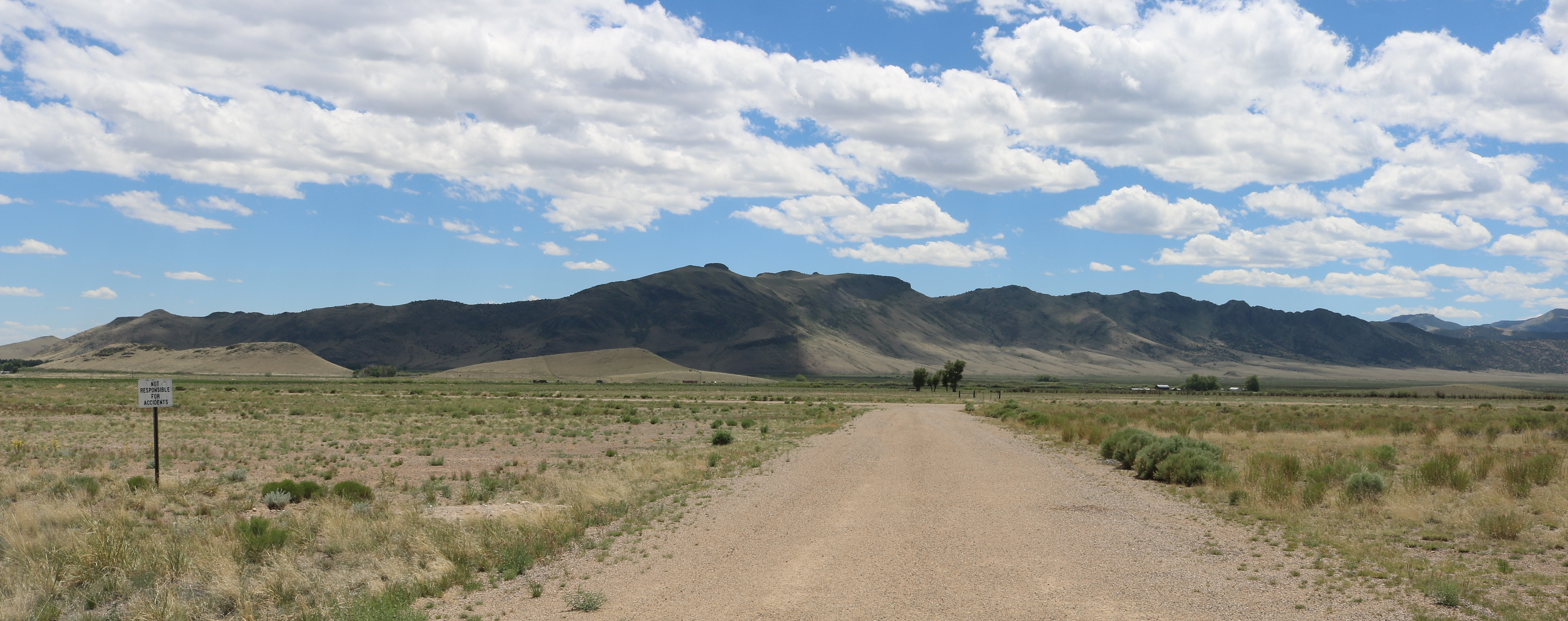
| Description | The northeast flank of the Tracy Volcano in Saguache County, Colorado, west of the town of Saguache. The flank is also called Devils Knob Ridge. The view is looking southeast from State Highway 14 across the Saguache Municipal Airport (FAA Identifier: 04V), which has one dirt runway (11/29), part of which is visible in the picture from left to right at the end of the access road. |
| Date | Taken on 18 June 2023 |
| Source | Own work |
| Author | Jeffrey Beall |
| Camera location | | View this and other nearby images on: OpenStreetMap |
|---|
Licensing[edit]
I, the copyright holder of this work, hereby publish it under the following license:
This file is licensed under the Creative Commons Attribution 4.0 International license.
- You are free:
- to share – to copy, distribute and transmit the work
- to remix – to adapt the work
- Under the following conditions:
- attribution – You must give appropriate credit, provide a link to the license, and indicate if changes were made. You may do so in any reasonable manner, but not in any way that suggests the licensor endorses you or your use.
File history
Click on a date/time to view the file as it appeared at that time.
| Date/Time | Thumbnail | Dimensions | User | Comment | |
|---|---|---|---|---|---|
| current | 20:36, 24 June 2023 | 6,000 × 2,375 (8.18 MB) | Jeffrey Beall (talk | contribs) | {{Information |Description=The northeast flank of the Tracy Volcano in {{W|Saguache County, Colorado}}, west of the town of Saguache. The flank is also called Devils Knob Ridge. The view is looking southeast from State Highway 14 across the Saguache Municipal Airport (FAA Identifier: 04V), which has one dirt runway (11/29), part of which is visible in the picture from left to right at the end of the access road. |Source={{own}} |Date={{taken on|2023-06-18|location=United States}} |Author= [[U... |
You cannot overwrite this file.
File usage on Commons
There are no pages that use this file.