File:Town sign De Zwarte Kat Amstelveen Netherlands.jpg
Jump to navigation
Jump to search

Size of this preview: 800 × 447 pixels. Other resolutions: 320 × 179 pixels | 640 × 357 pixels | 1,024 × 572 pixels | 1,599 × 893 pixels.
Original file (1,599 × 893 pixels, file size: 291 KB, MIME type: image/jpeg)
Captions
Captions
Add a one-line explanation of what this file represents
Summary[edit]
| Description |
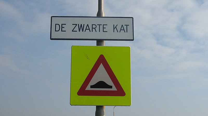
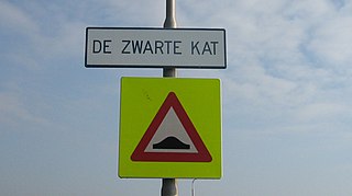
English: Town sign marking the southern boundary of the hamlet De Zwarte Kat, Amstelveen municipality, the Netherlands. This sign is located along Amsteldijk Zuid, about a hundred meters north of the intersection with Nesserlaan.
Nederlands: Kombord aan de zuidzijde van de buurtschap De Zwarte Kat in de Nederlandse gemeente Amstelveen. Dit bord staat langs Amsteldijk Zuid, ongeveer honderd meter ten noorden van de kruising met de Nesserlaan. |
| Date | |
| Source | Own work |
| Author | DennisM |
Licensing[edit]
I, the copyright holder of this work, hereby publish it under the following license:
| This file is made available under the Creative Commons CC0 1.0 Universal Public Domain Dedication. | |
| The person who associated a work with this deed has dedicated the work to the public domain by waiving all of their rights to the work worldwide under copyright law, including all related and neighboring rights, to the extent allowed by law. You can copy, modify, distribute and perform the work, even for commercial purposes, all without asking permission.
|
File history
Click on a date/time to view the file as it appeared at that time.
| Date/Time | Thumbnail | Dimensions | User | Comment | |
|---|---|---|---|---|---|
| current | 08:31, 17 April 2011 | | 1,599 × 893 (291 KB) | DennisM (talk | contribs) | {{Information |Description ={{en|1=Town sign marking the southern boundary of the hamlet De Zwarte Kat, Amstelveen municipality, the Netherlands. This sign is located along Amsteldijk Zuid, about a hundred meters north of the intersection with Ness |
You cannot overwrite this file.
File usage on Commons
There are no pages that use this file.
File usage on other wikis
The following other wikis use this file:
- Usage on nl.wikipedia.org
- Usage on www.wikidata.org