File:Topographic map of Zanzibar-sr.svg
Jump to navigation
Jump to search

Size of this PNG preview of this SVG file: 399 × 599 pixels. Other resolutions: 160 × 240 pixels | 319 × 480 pixels | 511 × 768 pixels | 681 × 1,024 pixels | 1,363 × 2,048 pixels | 400 × 601 pixels.
Original file (SVG file, nominally 400 × 601 pixels, file size: 78 KB)
Captions
Captions
Add a one-line explanation of what this file represents
Summary[edit]
| Description |
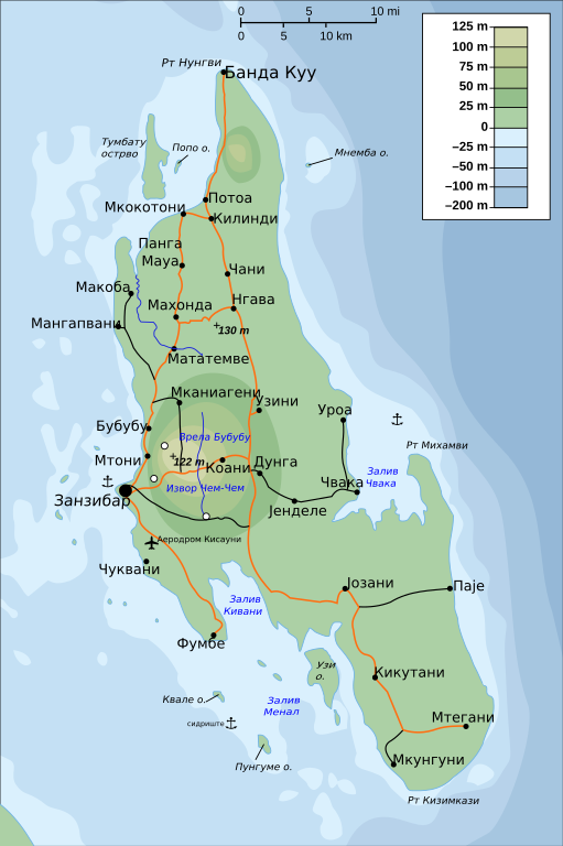
Српски / srpski: Физичко-географска мапа острва Занзибар на српском језику
English: Physical map of Zanzibar translated in Serbian |
| Date | |
| Source | File:Topographic_map_of_Zanzibar-en.svg |
| Author | Иван Матејић |
Licensing[edit]
| I, the copyright holder of this work, release this work into the public domain. This applies worldwide. In some countries this may not be legally possible; if so: I grant anyone the right to use this work for any purpose, without any conditions, unless such conditions are required by law. |
File history
Click on a date/time to view the file as it appeared at that time.
| Date/Time | Thumbnail | Dimensions | User | Comment | |
|---|---|---|---|---|---|
| current | 12:57, 19 October 2009 | | 400 × 601 (78 KB) | Ivan25 (talk | contribs) | {{Information |Description={{sr|1=Физичко-географска мапа острва Занзибар на српском језику}} {{en|1=Physical map of Zanzibar translated in Serbian}} |Source=http://commons.wikimedia.org/wiki/File:Topograp |
You cannot overwrite this file.
File usage on Commons
The following page uses this file: