File:Tonga-Kermadec Trench at 80Ma.JPG
Jump to navigation
Jump to search
No higher resolution available.
Tonga-Kermadec_Trench_at_80Ma.JPG (254 × 439 pixels, file size: 17 KB, MIME type: image/jpeg)
Captions
Captions
Add a one-line explanation of what this file represents
Summary[edit]
| Description |
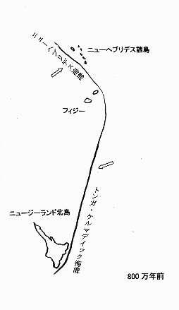
日本語: 瀬野1995の図版と『Just Now 世界地図 World Atlas』(㈱国際地学協会、1993)の海底地形図を参考に投稿者が作成。 |
| Source | Own work |
| Author | Siyajkak |
Licensing[edit]
| This file is licensed under the Creative Commons Attribution-Share Alike 3.0 Unported license. Subject to disclaimers. | ||
| ||
| This licensing tag was added to this file as part of the GFDL licensing update. |

|
Permission is granted to copy, distribute and/or modify this document under the terms of the GNU Free Documentation License, Version 1.2 or any later version published by the Free Software Foundation; with no Invariant Sections, no Front-Cover Texts, and no Back-Cover Texts. A copy of the license is included in the section entitled GNU Free Documentation License. Subject to disclaimers. |
File history
Click on a date/time to view the file as it appeared at that time.
| Date/Time | Thumbnail | Dimensions | User | Comment | |
|---|---|---|---|---|---|
| current | 18:37, 22 April 2006 | | 254 × 439 (17 KB) | Siyajkak (talk | contribs) | 瀬野1995の図版と『Just Now 世界地図 World Atlas』(㈱国際地学協会、1993)の海底地形図を参考に投稿者が作成。{{GFDL}} |
You cannot overwrite this file.
File usage on Commons
There are no pages that use this file.
File usage on other wikis
The following other wikis use this file:
- Usage on ja.wikipedia.org