File:Tigerstadium.png
Jump to navigation
Jump to search
Size of this preview: 800 × 527 pixels. Other resolutions: 320 × 211 pixels | 640 × 421 pixels | 992 × 653 pixels.
Original file (992 × 653 pixels, file size: 1.11 MB, MIME type: image/png)
Captions
Captions
Add a one-line explanation of what this file represents
Summary[edit]
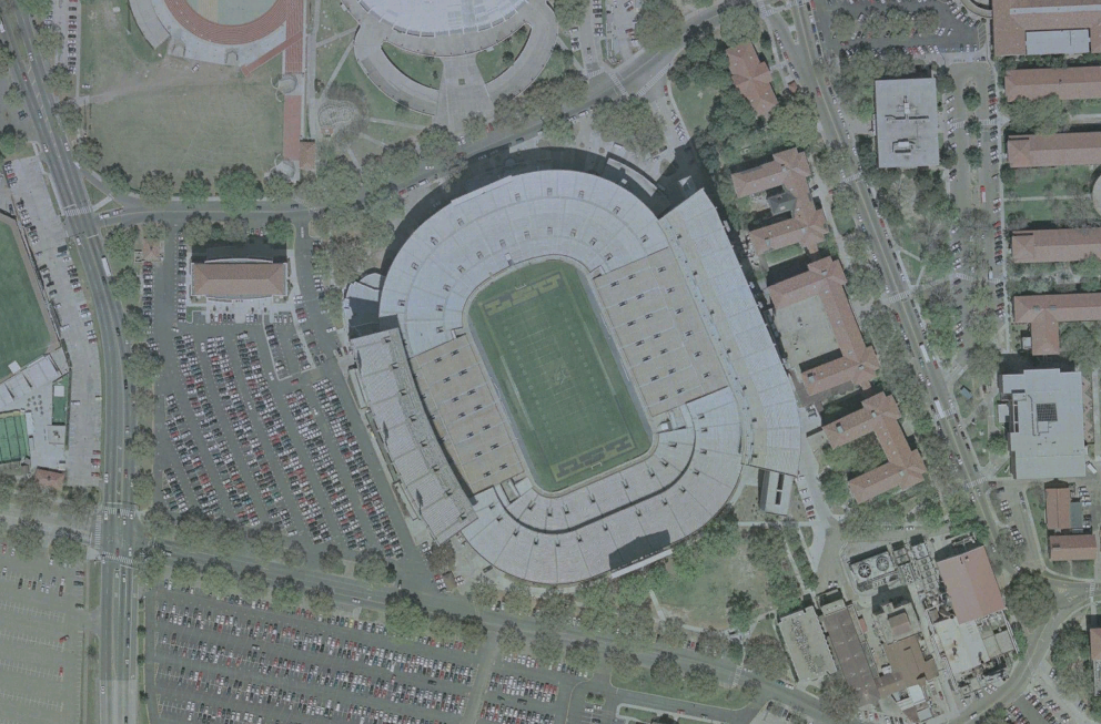
| Description | Tiger stadium |
| Date | 23 September 2006 (upload date) |
| Source |
|
| Author | NASA |
| Object location | | View this and other nearby images on: OpenStreetMap |
|---|
| Camera location | | View this and other nearby images on: OpenStreetMap |
|---|
Licensing[edit]
| This image is in the public domain because it is a screenshot from NASA’s globe software World Wind using a public domain layer, such as Blue Marble, MODIS, Landsat, SRTM, USGS or GLOBE.
|
 |
File history
Click on a date/time to view the file as it appeared at that time.
| Date/Time | Thumbnail | Dimensions | User | Comment | |
|---|---|---|---|---|---|
| current | 06:11, 30 October 2006 | | 992 × 653 (1.11 MB) | UCinternational (talk | contribs) | {{Information||Description =23 septembre 2006 à 13:25 . . Betp . . 992×653 (1 166 269 octets) ''(nasa world wind 1.3.5 <nowiki>==Licence== {{Domaine public NASA}}</nowiki>)''|Source = Originally from [http://fr.wikipedia.org/ fr |
You cannot overwrite this file.
File usage on Commons
There are no pages that use this file.