File:Theodore Roosevelt Dam.jpg
Jump to navigation
Jump to search
Size of this preview: 800 × 600 pixels. Other resolutions: 320 × 240 pixels | 640 × 480 pixels | 1,024 × 768 pixels | 1,280 × 960 pixels | 2,592 × 1,944 pixels.
Original file (2,592 × 1,944 pixels, file size: 716 KB, MIME type: image/jpeg)
Captions
Captions
Add a one-line explanation of what this file represents
|
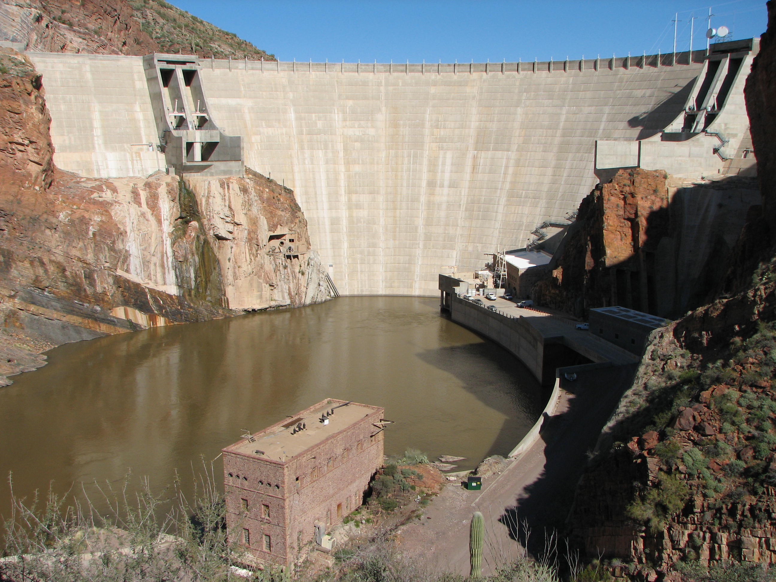
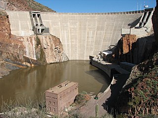
This is an image of a place or building that is listed on the National Register of Historic Places in the United States of America. Its reference number is 98000144. |
Summary[edit]
| Description |
English: Theodore Roosevelt Dam, Arizona, USA
Français : Barrage Théodore Roosevelt, Arizona, USA |
| Date | |
| Source | Own work |
| Author | Bernard Gagnon |
| Camera location | | View this and other nearby images on: OpenStreetMap |
|---|
Licensing[edit]
I, the copyright holder of this work, hereby publish it under the following licenses:

|
Permission is granted to copy, distribute and/or modify this document under the terms of the GNU Free Documentation License, Version 1.2 or any later version published by the Free Software Foundation; with no Invariant Sections, no Front-Cover Texts, and no Back-Cover Texts. A copy of the license is included in the section entitled GNU Free Documentation License. |
This file is licensed under the Creative Commons Attribution-Share Alike 3.0 Unported, 2.5 Generic, 2.0 Generic and 1.0 Generic license.
- You are free:
- to share – to copy, distribute and transmit the work
- to remix – to adapt the work
- Under the following conditions:
- attribution – You must give appropriate credit, provide a link to the license, and indicate if changes were made. You may do so in any reasonable manner, but not in any way that suggests the licensor endorses you or your use.
- share alike – If you remix, transform, or build upon the material, you must distribute your contributions under the same or compatible license as the original.
You may select the license of your choice.

|
This image has been assessed under the valued image criteria and is considered the most valued image on Commons within the scope: Roosevelt Dam. You can see its nomination here. |
File history
Click on a date/time to view the file as it appeared at that time.
| Date/Time | Thumbnail | Dimensions | User | Comment | |
|---|---|---|---|---|---|
| current | 17:45, 22 February 2009 | | 2,592 × 1,944 (716 KB) | Bgag (talk | contribs) | {{Information |Description={{en|1=Theodore Roosevelt Dam, Arizona, USA}} {{fr|1=Barrage Théodore Roosevelt, Arizona, USA}} |Source=travail personnel (own work) |Author=Bernard Gagnon |Date=2009-01-29 |Permission= |other_versions= }} {{Locat |
You cannot overwrite this file.
File usage on Commons
The following 7 pages use this file:
- User:Bgag/Arizona
- User:Bgag/Valued images
- User talk:Bgag/Archives 2009
- Commons:Quality images candidates/Archives May 2008
- Commons:Quality images candidates/Archives May 2009
- Commons:Valued image candidates/Theodore Roosevelt Dam.jpg
- Commons:Valued images by topic/Places/Buildings/Industrial buildings
File usage on other wikis
The following other wikis use this file:
- Usage on de.wikipedia.org
- Usage on en.wikipedia.org
- Usage on fr.wikipedia.org
- Usage on pl.wikipedia.org
- Usage on vi.wikipedia.org