File:The Preston to Wyton 'footpath' - geograph.org.uk - 1086976.jpg
Jump to navigation
Jump to search
Size of this preview: 450 × 600 pixels. Other resolutions: 180 × 240 pixels | 480 × 640 pixels.
Original file (480 × 640 pixels, file size: 129 KB, MIME type: image/jpeg)
Captions
Captions
Add a one-line explanation of what this file represents
Summary[edit]
| Description |
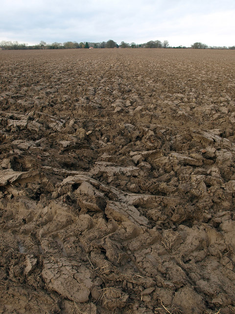
English: The Preston to Wyton 'footpath', East Riding of Yorkshire, England. This is supposed to be the Preston to Wyton footpath, but has 'magically' turned into a ploughed field with very heavy and impassable furrows on it. A long field edge diversion is required to get around it., Viewed north. |
| Date | |
| Source | From geograph.org.uk |
| Author | Andy Beecroft |
| Permission (Reusing this file) |
Creative Commons Attribution Share-alike license 2.0 |
| Attribution (required by the license) | Andy Beecroft / The Preston to Wyton 'footpath' / |
| Camera location | | View this and other nearby images on: OpenStreetMap |
|---|
_heading:0.00&language=en)
| Object location | | View this and other nearby images on: OpenStreetMap |
|---|
_heading:0.00&language=en)
Licensing[edit]

|
This image was taken from the Geograph project collection. See this photograph's page on the Geograph website for the photographer's contact details. The copyright on this image is owned by Andy Beecroft and is licensed for reuse under the Creative Commons Attribution-ShareAlike 2.0 license.
|
This file is licensed under the Creative Commons Attribution-Share Alike 2.0 Generic license.
Attribution: Andy Beecroft
- You are free:
- to share – to copy, distribute and transmit the work
- to remix – to adapt the work
- Under the following conditions:
- attribution – You must give appropriate credit, provide a link to the license, and indicate if changes were made. You may do so in any reasonable manner, but not in any way that suggests the licensor endorses you or your use.
- share alike – If you remix, transform, or build upon the material, you must distribute your contributions under the same or compatible license as the original.
File history
Click on a date/time to view the file as it appeared at that time.
| Date/Time | Thumbnail | Dimensions | User | Comment | |
|---|---|---|---|---|---|
| current | 12:10, 24 February 2011 | | 480 × 640 (129 KB) | GeographBot (talk | contribs) | == {{int:filedesc}} == {{Information |description={{en|1=The Preston to Wyton 'footpath' This is supposed to be the Preston to Wyton footpath, but has 'magically' turned into a ploughed field with very heavy and impassable furrows on it. A long field edg |
You cannot overwrite this file.
File usage on Commons
There are no pages that use this file.