File:Tagliamento river location.png
Jump to navigation
Jump to search
Size of this preview: 800 × 473 pixels. Other resolutions: 320 × 189 pixels | 640 × 379 pixels | 1,109 × 656 pixels.
Original file (1,109 × 656 pixels, file size: 923 KB, MIME type: image/png)
Captions
Captions
Add a one-line explanation of what this file represents
| Description |
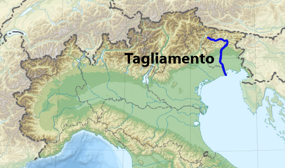
English: Location of Tagliamento River in North East Italy Italiano: La posizione del fiume Tagliamento, Nordest Italia |
| Date | (UTC) |
| Source | |
| Author |
|
| This is a retouched picture, which means that it has been digitally altered from its original version. The original can be viewed here: Italy topographic map-blank.svg:
|
I, the copyright holder of this work, hereby publish it under the following licenses:
This file is licensed under the Creative Commons Attribution-Share Alike 3.0 Unported license.
- You are free:
- to share – to copy, distribute and transmit the work
- to remix – to adapt the work
- Under the following conditions:
- attribution – You must give appropriate credit, provide a link to the license, and indicate if changes were made. You may do so in any reasonable manner, but not in any way that suggests the licensor endorses you or your use.
- share alike – If you remix, transform, or build upon the material, you must distribute your contributions under the same or compatible license as the original.

|
Permission is granted to copy, distribute and/or modify this document under the terms of the GNU Free Documentation License, Version 1.2 or any later version published by the Free Software Foundation; with no Invariant Sections, no Front-Cover Texts, and no Back-Cover Texts. A copy of the license is included in the section entitled GNU Free Documentation License. |
You may select the license of your choice.
Original upload log[edit]
This image is a derivative work of the following images:
- File:Italy_topographic_map-blank.svg licensed with Cc-by-sa-3.0, GFDL
- 2010-07-17T21:13:50Z Sting 1759x2167 (2071490 Bytes) Oups! Not the correct background
- 2010-07-17T21:05:48Z Sting 1759x2167 (2277577 Bytes) Color profile: better unsaturated colors than over-saturated ones in non color managed browsers
- 2009-09-14T14:16:23Z Sting 1759x2167 (2056027 Bytes) updating borders after important variation (http://www.gazzettaufficiale.it/guridb/dispatcher?service=1&datagu=2009-08-14&task=dettaglio&numgu=188&redaz=009G0127&tmstp=1250276942469) - cf [[:File:Italy_location_map.svg]] ; +
- 2009-04-26T04:07:23Z Sting 1759x2167 (1851897 Bytes) == Summary == {{Location|42|00|00|N|12|00|00|E|scale:5000000}} {{Information |Description={{en|Blank topographic map of [[:en:Italy|Italy]], with regions boundaries.''Note:'' The background map is a raster image embedded in
Uploaded with derivativeFX
File history
Click on a date/time to view the file as it appeared at that time.
| Date/Time | Thumbnail | Dimensions | User | Comment | |
|---|---|---|---|---|---|
| current | 21:08, 13 October 2010 | | 1,109 × 656 (923 KB) | Diego Cruciat (talk | contribs) | {{Information |Description={{en|Blank topographic map of Italy, with regions boundaries and including the 08-2009 modification of the boundary between Emilia-Romagna and Marche regions.<br/>''Note:'' The background map is a raster image embe |
You cannot overwrite this file.
File usage on Commons
The following 4 pages use this file:
File usage on other wikis
The following other wikis use this file:
- Usage on ar.wikipedia.org
- Usage on ca.wikipedia.org
- Usage on cs.wikipedia.org
- Usage on da.wikipedia.org
- Usage on et.wikipedia.org
- Usage on eu.wikipedia.org
- Usage on fr.wikipedia.org
- Usage on hr.wikipedia.org
- Usage on hu.wikipedia.org
- Usage on hy.wikipedia.org
- Usage on it.wikipedia.org
- Usage on ja.wikipedia.org
- Usage on ka.wikipedia.org
- Usage on la.wikipedia.org
- Usage on no.wikipedia.org
- Usage on sh.wikipedia.org
- Usage on uk.wikipedia.org
- Usage on vec.wikipedia.org
- Usage on www.wikidata.org