File:Tae Song Dong.jpg
Jump to navigation
Jump to search
Size of this preview: 791 × 600 pixels. Other resolutions: 317 × 240 pixels | 633 × 480 pixels | 1,013 × 768 pixels | 1,232 × 934 pixels.
Original file (1,232 × 934 pixels, file size: 377 KB, MIME type: image/jpeg)
Captions
Captions
Add a one-line explanation of what this file represents
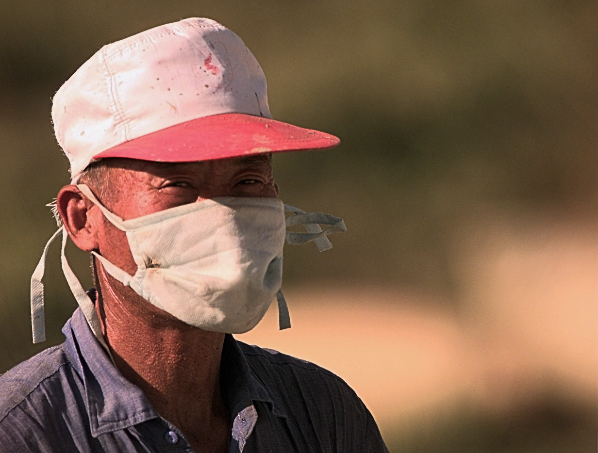
| Description | A villager from Tae Song Dong wears a mask to filter out dust while harvesting rice outside of the village. Tae Song Dong, also known as Freedom Village, is one of two villages that stand inside the DMZ and the only one to stand on the South Korean side of the Military Demarkation Line (DML). The DML is the line that divides North and South Korea. (U.S. Air Force photo by Senior Airman Jeffrey Allen) (RELEASED) | ||
| Date | |||
| Source | Flickr: Tae Song Dong | ||
| Author | UNC - CFC - USFK | ||
| Permission (Reusing this file) |
This file is licensed under the Creative Commons Attribution 2.0 Generic license.
|
File history
Click on a date/time to view the file as it appeared at that time.
| Date/Time | Thumbnail | Dimensions | User | Comment | |
|---|---|---|---|---|---|
| current | 21:22, 21 August 2011 | | 1,232 × 934 (377 KB) | Flickr upload bot (talk | contribs) | Uploaded from http://flickr.com/photo/35352823@N06/3286404641 using Flickr upload bot |
You cannot overwrite this file.
File usage on Commons
There are no pages that use this file.
File usage on other wikis
The following other wikis use this file:
- Usage on de.wikipedia.org