File:Syria-Iraq-Lebanon location map.svg
Jump to navigation
Jump to search

Size of this PNG preview of this SVG file: 785 × 600 pixels. Other resolutions: 314 × 240 pixels | 628 × 480 pixels | 1,005 × 768 pixels | 1,280 × 978 pixels | 2,560 × 1,957 pixels | 4,485 × 3,428 pixels.
Original file (SVG file, nominally 4,485 × 3,428 pixels, file size: 972 KB)
Captions
Captions
Add a one-line explanation of what this file represents
Summary[edit]
| Description |
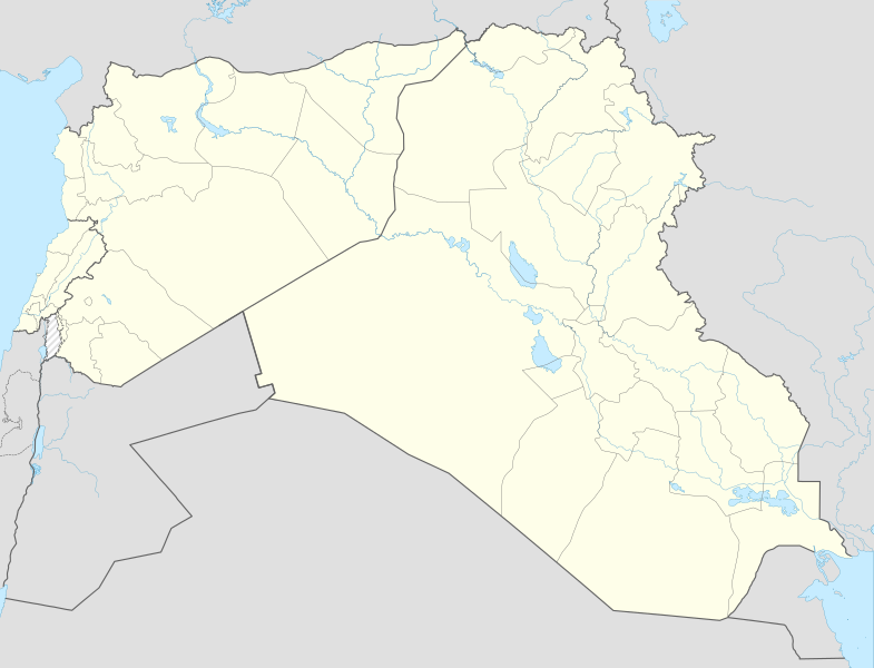
English: Location map of Syria, Iraq and Lebanon. De facto situation.
Equirectangular projection, N/S stretching 115 %. Geographic limits of the map: N: 37.6° N S: 28.4° N W: 34.9° E E: 48.9° EDeutsch: Positionskarte von Syrien und Irak und Libanon. De-facto-Situation.
Quadratische Plattkarte, N-S-Streckung 115 %. Geographische Begrenzung der Karte: N: 37.6° N S: 28.4° N W: 34.9° O O: 48.9° O |
| Date | |
| Source | File:Syria-Iraq location map.svg |
| Author | NordNordWest, Spesh531, John Smith The Gamer |
Licensing[edit]
This file is licensed under the Creative Commons Attribution-Share Alike 4.0 International license.
- You are free:
- to share – to copy, distribute and transmit the work
- to remix – to adapt the work
- Under the following conditions:
- attribution – You must give appropriate credit, provide a link to the license, and indicate if changes were made. You may do so in any reasonable manner, but not in any way that suggests the licensor endorses you or your use.
- share alike – If you remix, transform, or build upon the material, you must distribute your contributions under the same or compatible license as the original.
File history
Click on a date/time to view the file as it appeared at that time.
| Date/Time | Thumbnail | Dimensions | User | Comment | |
|---|---|---|---|---|---|
| current | 14:59, 8 November 2017 | | 4,485 × 3,428 (972 KB) | Rob984 (talk | contribs) | minor: corrected rivers per location scheme, fixed missing segments in Jordan-Israel border. |
| 16:06, 17 June 2015 |  | 4,485 × 3,428 (968 KB) | Spesh531 (talk | contribs) | fixed islands in persian gulf | |
| 15:55, 17 June 2015 |  | 4,485 × 3,428 (969 KB) | Spesh531 (talk | contribs) | adding sublevel lebanon borders and cleaned up borders | |
| 19:55, 28 December 2014 |  | 4,485 × 3,428 (1.04 MB) | Banak (talk | contribs) | User created page with UploadWizard |
You cannot overwrite this file.
File usage on Commons
The following page uses this file:
.svg)
File usage on other wikis
The following other wikis use this file:
- Usage on ar.wikipedia.org
- Usage on en.wikipedia.org
- Module:Location map/data/Syria-Iraq-Lebanon
- Module:Location map/data/Syria-Iraq-Lebanon/doc
- Template:Syrian, Iraqi, and Lebanese insurgencies detailed map
- Module:Syrian, Iraqi, and Lebanese insurgencies detailed map/doc
- Assault on Rutbah Fort (1941)
- User:Fallen.cze/sandbox
- User:Edisonabcd/sandbox/Syrian, Iraqi, and Lebanese insurgencies detailed map
- Usage on ko.wikipedia.org
- Usage on si.wikipedia.org
- Usage on ur.wikipedia.org
- Usage on zh.wikipedia.org