File:Subdivisions of Xinjiang (China).png
Jump to navigation
Jump to search
Size of this preview: 789 × 600 pixels. Other resolutions: 316 × 240 pixels | 631 × 480 pixels | 960 × 730 pixels.
Original file (960 × 730 pixels, file size: 163 KB, MIME type: image/png)
Captions
Captions
Add a one-line explanation of what this file represents
Summary[edit]
.png&action=edit§ion=1)
| Description |
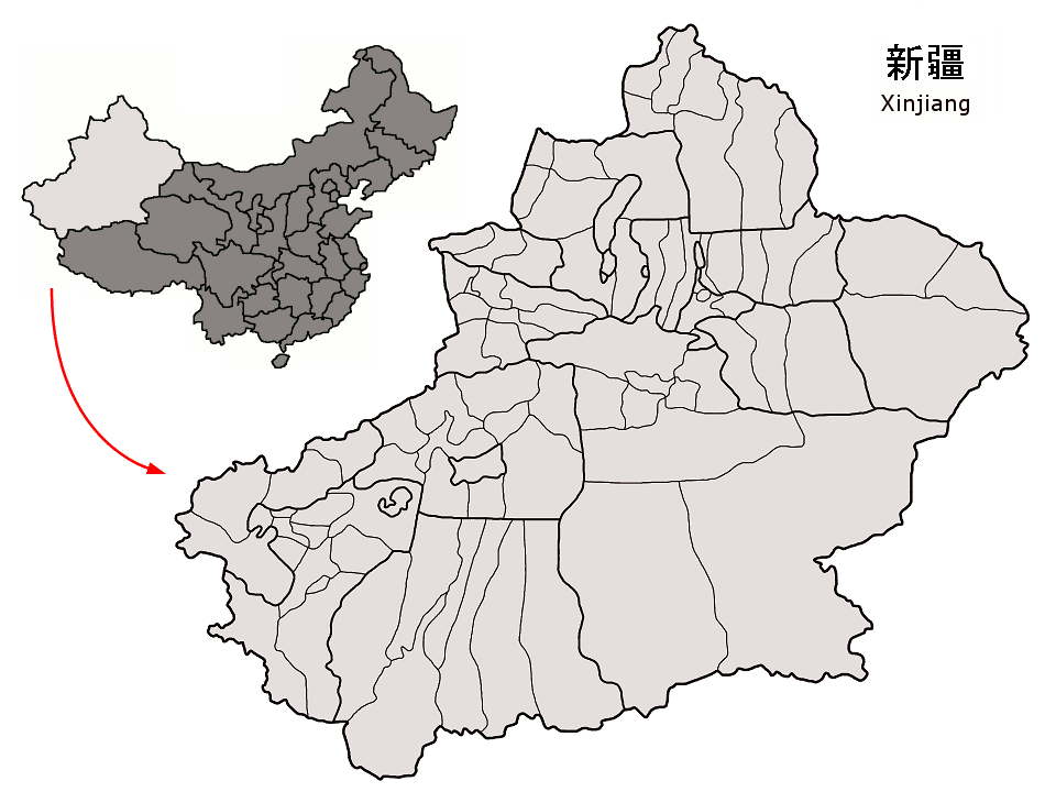
County-level subdivisions in Xinjiang autonomous region of China Map drawn in september 2007 using various sources, mainly : |
| Date | |
| Source | Own work |
| Author | Croquant |
Licensing[edit]
.png&action=edit§ion=2)
I, the copyright holder of this work, hereby publish it under the following license:
This file is licensed under the Creative Commons Attribution 3.0 Unported license.
- You are free:
- to share – to copy, distribute and transmit the work
- to remix – to adapt the work
- Under the following conditions:
- attribution – You must give appropriate credit, provide a link to the license, and indicate if changes were made. You may do so in any reasonable manner, but not in any way that suggests the licensor endorses you or your use.
File history
Click on a date/time to view the file as it appeared at that time.
| Date/Time | Thumbnail | Dimensions | User | Comment | |
|---|---|---|---|---|---|
| current | 16:26, 7 September 2007 | | 960 × 730 (163 KB) | Croquant (talk | contribs) | Ili Prefecture: limits of Yining City |
| 16:04, 6 September 2007 |  | 960 × 730 (163 KB) | Croquant (talk | contribs) | divisions of Urumqi Prefecture | |
| 19:40, 5 September 2007 |  | 960 × 730 (163 KB) | Croquant (talk | contribs) | corrections in Urumqi Prefecture | |
| 15:05, 5 September 2007 |  | 960 × 730 (163 KB) | Croquant (talk | contribs) | minor changes | |
| 14:46, 5 September 2007 |  | 960 × 730 (163 KB) | Croquant (talk | contribs) | == Summary == {{Information |Description=County-level subdivisions in Xinjiang autonomous region of China Map drawn in september 2007 using various sources, mainly : * [http://sedac.ciesin.org/china/admin/bnd90/t6590.html Xinjiang Uygur autonomous region |
You cannot overwrite this file.
File usage on Commons
There are no pages that use this file.
File usage on other wikis
The following other wikis use this file:
- Usage on nl.wikipedia.org
.png&oldid=448821926)