File:Streckenkarte der Südpfalzbahn.png
Jump to navigation
Jump to search

Size of this preview: 799 × 225 pixels. Other resolutions: 320 × 90 pixels | 1,683 × 474 pixels.
Original file (1,683 × 474 pixels, file size: 493 KB, MIME type: image/png)
Captions
Captions
Add a one-line explanation of what this file represents
| Description |
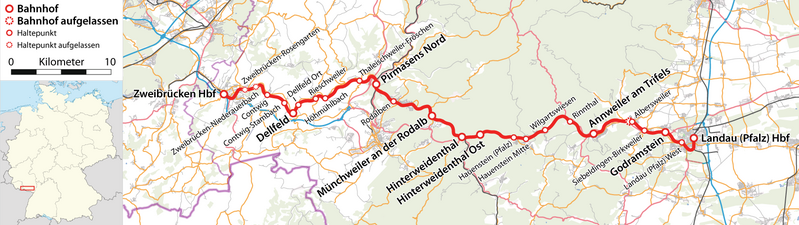
Deutsch: Streckenkarte der Südpfalzbahn |
| Date | see file history |
| Source |
Own work, using
|
| Author | Maximilian Dörrbecker (Chumwa) |
| Permission (Reusing this file) |
All OpenStreetMap data and maps are Creative Commons "CC-BY-SA 2.0" licensed This file is licensed under the Creative Commons Attribution-Share Alike 2.0 Generic license.
|
File history
Click on a date/time to view the file as it appeared at that time.
| Date/Time | Thumbnail | Dimensions | User | Comment | |
|---|---|---|---|---|---|
| current | 20:30, 27 March 2011 | 1,683 × 474 (493 KB) | Chumwa (talk | contribs) | corr | |
| 20:29, 27 March 2011 |  | 2,117 × 2,793 (5 MB) | Chumwa (talk | contribs) | {{Information |Description={{de|Streckenkarte der Südpfalzbahn}} |Author=Maximilian Dörrbecker (Chumwa) |Source={{own}}, using * OpenStreetMap data for the background * [[:File:Germany_lo |
You cannot overwrite this file.
File usage on Commons
The following page uses this file:
File usage on other wikis
The following other wikis use this file: