File:St Luke's, Woodside - geograph.org.uk - 39050.jpg
Jump to navigation
Jump to search
No higher resolution available.
St_Luke's,_Woodside_-_geograph.org.uk_-_39050.jpg (640 × 431 pixels, file size: 111 KB, MIME type: image/jpeg)
Captions
Captions
Add a one-line explanation of what this file represents
Summary[edit]
| Description |
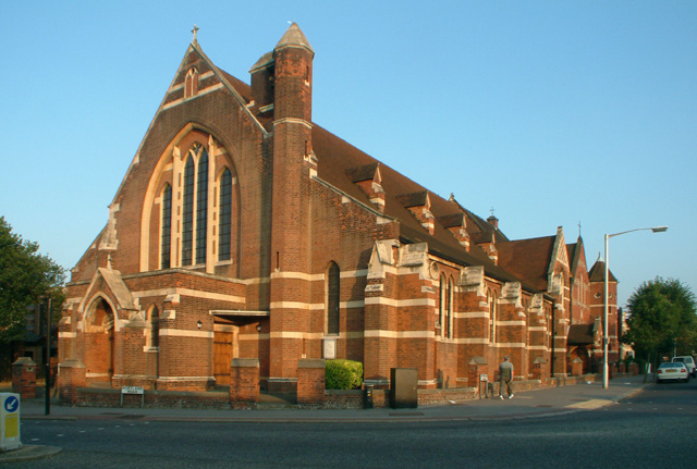
English: St Luke's, Woodside. Situated where Spring Lane joins Portland Road. Built in 1870, it is a grade II listed building.
|
| Date | |
| Source | From geograph.org.uk |
| Author | Philip Talmage |
| Attribution (required by the license) | Philip Talmage / St Luke's, Woodside / |
| Camera location | | View this and other nearby images on: OpenStreetMap |
|---|
| Object location | | View this and other nearby images on: OpenStreetMap |
|---|
_&language=en)
Licensing[edit]

|
This image was taken from the Geograph project collection. See this photograph's page on the Geograph website for the photographer's contact details. The copyright on this image is owned by Philip Talmage and is licensed for reuse under the Creative Commons Attribution-ShareAlike 2.0 license.
|
This file is licensed under the Creative Commons Attribution-Share Alike 2.0 Generic license.
Attribution: Philip Talmage
- You are free:
- to share – to copy, distribute and transmit the work
- to remix – to adapt the work
- Under the following conditions:
- attribution – You must give appropriate credit, provide a link to the license, and indicate if changes were made. You may do so in any reasonable manner, but not in any way that suggests the licensor endorses you or your use.
- share alike – If you remix, transform, or build upon the material, you must distribute your contributions under the same or compatible license as the original.
File history
Click on a date/time to view the file as it appeared at that time.
| Date/Time | Thumbnail | Dimensions | User | Comment | |
|---|---|---|---|---|---|
| current | 17:20, 30 January 2010 | | 640 × 431 (111 KB) | GeographBot (talk | contribs) | == {{int:filedesc}} == {{Information |description={{en|1=St Luke's, Woodside. Situated where Spring Lane joins Portland Road. Built in 1870, it is a grade II listed building.}} |date=2005-08-17 |source=From [http://www.geograph.org.uk/photo/39050 geograph |
You cannot overwrite this file.
File usage on Commons
The following page uses this file:
File usage on other wikis
The following other wikis use this file:
- Usage on en.wikipedia.org
- Usage on fr.wikipedia.org
- Usage on ga.wikipedia.org
- Usage on pl.wikipedia.org
- Usage on www.wikidata.org
Metadata
Categories:
- 2005 in the London Borough of Croydon
- Grade II listed churches in the London Borough of Croydon
- Churches in the Archdeaconry of Croydon
- Saint Luke churches in London
- Gothic Revival brick churches in London
- 1870s brick churches in London
- Churches in England built in 1870
- August 2005 in London
- Churches in London photographed in 2005
- Woodside, Croydon