File:Speed the Plough in Amherst County.jpg
Jump to navigation
Jump to search
Size of this preview: 800 × 532 pixels. Other resolutions: 320 × 213 pixels | 640 × 426 pixels | 1,024 × 681 pixels | 1,280 × 851 pixels | 2,560 × 1,702 pixels | 6,016 × 4,000 pixels.
Original file (6,016 × 4,000 pixels, file size: 6.49 MB, MIME type: image/jpeg)
Captions
Captions
Add a one-line explanation of what this file represents
|
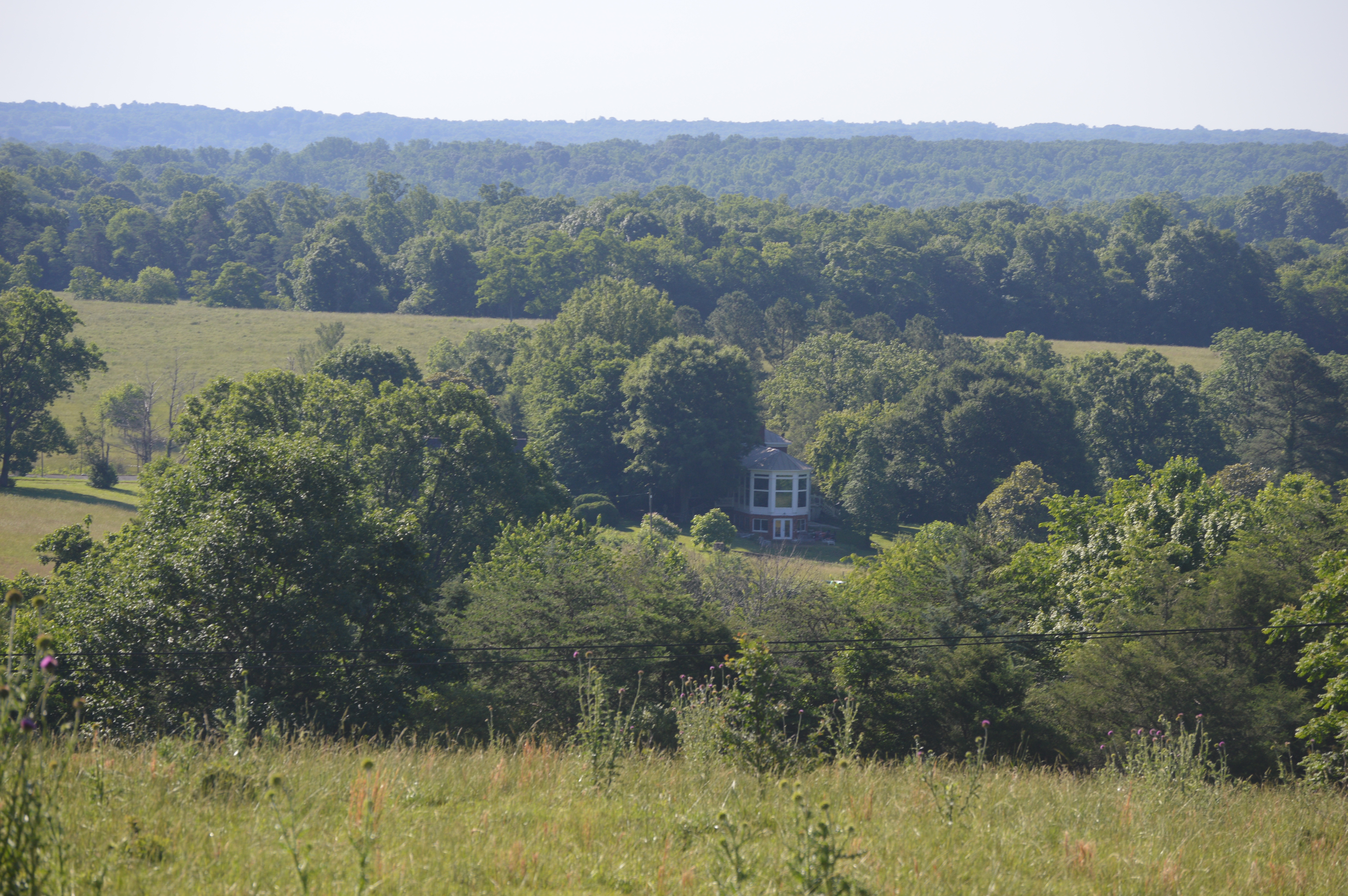
This is an image of a place or building that is listed on the National Register of Historic Places in the United States of America. Its reference number is 07000391. |
| Camera location | | View this and other nearby images on: OpenStreetMap |
|---|
| Description |
English: Distant view from the northwest of the main house (built 1850) at the "Speed the Plough" farmstead, located at 389 Fair Lea Lane northwest of Monroe in Amherst County, Virginia, United States. The farmstead is listed on the National Register of Historic Places as a historic district. |
||
| Date | Taken on 3 June 2017 | ||
| Source | Own work | ||
| Author | Nyttend | ||
| Permission (Reusing this file) |
|
File history
Click on a date/time to view the file as it appeared at that time.
| Date/Time | Thumbnail | Dimensions | User | Comment | |
|---|---|---|---|---|---|
| current | 01:44, 4 June 2017 | | 6,016 × 4,000 (6.49 MB) | Nyttend (talk | contribs) | {{NRHP|07000391}} {{Location|37|32|13|N|79|11|45|W}} {{Information |Description={{en|Distant view from the northwest of the main house (built 1850) at the "{{w|Speed the Plough (Monroe, Virginia)|Speed the Plough}}" farmstead, located at 389 Fair Lea L... |
You cannot overwrite this file.
File usage on Commons
There are no pages that use this file.
File usage on other wikis
The following other wikis use this file:
- Usage on en.wikipedia.org
- Usage on www.wikidata.org