File:Soviet Union location map (1937, no rivers).svg
Jump to navigation
Jump to search

Size of this PNG preview of this SVG file: 600 × 371 pixels. Other resolutions: 320 × 198 pixels | 640 × 396 pixels | 1,024 × 633 pixels | 1,280 × 791 pixels | 2,560 × 1,583 pixels.
Original file (SVG file, nominally 600 × 371 pixels, file size: 1.08 MB)
Captions
Captions
Add a one-line explanation of what this file represents
Summary[edit]
.svg&action=edit§ion=1)
| Description |
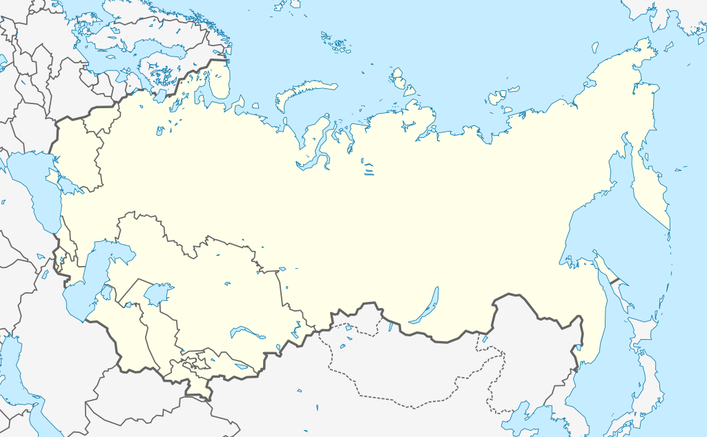
English: Location map of the Soviet Union as of 1937 (without rivers). |
| Date | |
| Source | Own work, based on Natural Earth data. |
| Author | Hellerick |
Licensing[edit]
.svg&action=edit§ion=2)
I, the copyright holder of this work, hereby publish it under the following license:
This file is licensed under the Creative Commons Attribution-Share Alike 3.0 Unported license.
- You are free:
- to share – to copy, distribute and transmit the work
- to remix – to adapt the work
- Under the following conditions:
- attribution – You must give appropriate credit, provide a link to the license, and indicate if changes were made. You may do so in any reasonable manner, but not in any way that suggests the licensor endorses you or your use.
- share alike – If you remix, transform, or build upon the material, you must distribute your contributions under the same or compatible license as the original.
File history
Click on a date/time to view the file as it appeared at that time.
| Date/Time | Thumbnail | Dimensions | User | Comment | |
|---|---|---|---|---|---|
| current | 11:24, 24 September 2013 | | 600 × 371 (1.08 MB) | Hellerick (talk | contribs) | User created page with UploadWizard |
You cannot overwrite this file.
File usage on Commons
The following 2 pages use this file:
.svg)
File usage on other wikis
The following other wikis use this file:
- Usage on az.wikipedia.org
- Usage on de.wikipedia.org
- Usage on et.wikipedia.org
- Usage on pl.wikipedia.org
- Bitwa pod Lenino
- Bitwa na łuku kurskim
- Bitwa pod Moskwą
- Bitwa stalingradzka
- Blokada Leningradu
- Zbrodnia katyńska
- Bitwa pod Diemiańskiem
- Operacja Uran
- Operacja jelnińska
- Masakra w Kamieńcu Podolskim
- Katastrofa lotnicza w Moskwie (1935)
- Bitwa o Charków (1943)
- Obrona Odessy
- Gruppa A czempionata SSSR po futbołu (1936, wiosna)
- Ofensywna operacja tichwińska
- Operacja barwienkowsko-łozowska
- Bitwa o Charków (1941)
- Oblężenie Sewastopola (1941–1942)
- Operacja charkowska (1942)
- Bitwa o Rostów (1941)
- Gruppa A czempionata SSSR po futbołu (1936, jesień)
- Bitwa o Kijów (1943)
- Operacja bobrujska
- Operacja mińska
- Operacja orłowska
- Bitwa pod Smoleńskiem (1941)
- Bitwa o Kijów (1941)
- Operacja toropiecko-chołmska
- Bitwa pod Humaniem
- Kampania krymska
- Cerkiew Zwiastowania w Petersburgu (wojskowa)
- Walki pod Darnicą
- Incydent w Jampolu (1925)
- Moskiewski Instytut Filozofii, Literatury i Historii
- Moduł:Mapa/dane/Związek Socjalistycznych Republik Radzieckich
- Moduł:Mapa/dane/SUN
- Bitwa pod Sokołowem (1943)
- Operacja orszańska
- Masakra w Melitopolu
- Masakra w Pietruszynskiej bałce
- Masakra w Chatyniu
- Usage on pl.wikibooks.org
- Usage on ru.wikipedia.org
.svg&oldid=566282674)