File:Southwest Cornwall UK location map.svg
Jump to navigation
Jump to search

Size of this PNG preview of this SVG file: 800 × 489 pixels. Other resolutions: 320 × 196 pixels | 640 × 391 pixels | 1,024 × 626 pixels | 1,280 × 782 pixels | 2,560 × 1,565 pixels | 1,425 × 871 pixels.
Original file (SVG file, nominally 1,425 × 871 pixels, file size: 662 KB)
Captions
Captions
Add a one-line explanation of what this file represents
| Description |
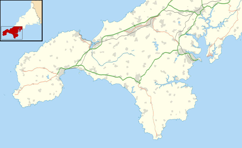
Map of southwest Cornwall, UK (excluding the Isles of Scilly) with the following information shown:
Equirectangular map projection on WGS 84 datum, with N/S stretched 150% Geographic limits:
|
| Date | |
| Source |
|
| Author | Nilfanion, created using Ordnance Survey data |
| Permission (Reusing this file) |
This file is licensed under the Creative Commons Attribution-Share Alike 3.0 Unported license. Attribution: Contains Ordnance Survey data © Crown copyright and database right
|
File history
Click on a date/time to view the file as it appeared at that time.
| Date/Time | Thumbnail | Dimensions | User | Comment | |
|---|---|---|---|---|---|
| current | 11:42, 12 October 2011 | | 1,425 × 871 (662 KB) | Nilfanion (talk | contribs) | {{Information |Description=Map of southwest Cornwall, UK (excluding the Isles of Scilly) with the following information shown: *Administrative borders *Coastline, lakes and rivers *Roads and railways *Urban areas Equirectangular map projec |
You cannot overwrite this file.
File usage on Commons
There are no pages that use this file.
File usage on other wikis
The following other wikis use this file:
- Usage on ar.wikipedia.org
- Usage on ceb.wikipedia.org
- Usage on en.wikipedia.org
- Chysauster Ancient Village
- Carn Euny
- Mên-an-Tol
- Tate St Ives
- Lanyon Quoit
- Aire Point to Carrick Du SSSI
- Land's End Airport
- Logan Rock
- Chûn Quoit
- The Merry Maidens
- Morrab Library
- Mousehole Wild Bird Hospital and Sanctuary
- Trinity House National Lighthouse Museum
- Ballowall Barrow
- Halliggye Fogou
- Tregiffian Burial Chamber
- Boscawen-Un
- Penzance Heliport
- Tregeseal East stone circle
- Boskednan stone circle
- Lescudjack Hill Fort
- Penlee House
- Zennor Quoit
- Carbis Bay Hotel
- Treen Cliff
- Mount Haven Hotel
- Module:Location map/data/United Kingdom Cornwall southwest/doc
- The Sloop Inn
- Caerthillian to Kennack
- Great Wheal Fortune
- Porthgwarra to Pordenack Point
- Sperris Quoit
- The Falmouth Hotel
- Tinner's Arms
- Boleigh Fogou
- Brane Barrow
- Boswens Menhir
- Mulfra Quoit
- Pendeen Vau
- The Pipers, St Buryan
- Mên Scryfa
- West Lanyon Quoit
- Chyenhal Moor
- Madron Well and Madron Well Chapel
- Module:Location map/data/United Kingdom Cornwall southwest
- Module:Location map/data/Southwest Cornwall
- Falmouth Bay
- Carfury Standing Stone
View more global usage of this file.