File:Southern Ocean - en.png
Jump to navigation
Jump to search
No higher resolution available.
Southern_Ocean_-_en.png (330 × 330 pixels, file size: 10 KB, MIME type: image/png)
Captions
Captions
Add a one-line explanation of what this file represents

|
This locator map image could be re-created using vector graphics as an SVG file. This has several advantages; see Commons:Media for cleanup for more information. If an SVG form of this image is available, please upload it and afterwards replace this template with
{{vector version available|new image name}}.
It is recommended to name the SVG file “Southern Ocean - en.svg”—then the template Vector version available (or Vva) does not need the new image name parameter. |
Summary[edit]
| Description | |
| Date | |
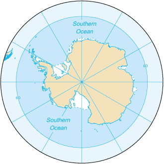
| Source | CIA Factbook 2003: Southern Ocean (picture link is [1]) |
| Author | CIA |
| Other versions |
|
![[1]](https://www.cia.gov/library/publications/the-world-factbook/maps/oo-map.gif)
== Licensing ==
This image is in the public domain because it contains materials that originally came from the United States Central Intelligence Agency's World Factbook.
|
 |
File history
Click on a date/time to view the file as it appeared at that time.
| Date/Time | Thumbnail | Dimensions | User | Comment | |
|---|---|---|---|---|---|
| current | 20:23, 22 August 2009 | | 330 × 330 (10 KB) | Serg!o (talk | contribs) | == Summary == Southern_Ocean (from en:) Map from [https://www.cia.gov/library/publications/the-world-factbook/geos/oo.html CIA Factbook 2003: Southern Ocean] (picture link is [https://www.cia.gov/library/publications/the-world-factbook/maps/oo-map.gif]). |
You cannot overwrite this file.
File usage on Commons
The following 2 pages use this file:
- Ocean maps
- File:Oceano Antartico.png (file redirect)
File usage on other wikis
The following other wikis use this file:
- Usage on en.wikibooks.org
- Usage on en.wikisource.org
- Usage on it.wikipedia.org
- Usage on ko.wikipedia.org
- Usage on lld.wikipedia.org
- Usage on roa-tara.wikipedia.org