File:South Indian territories 2014 de.svg
Jump to navigation
Jump to search

Size of this PNG preview of this SVG file: 541 × 599 pixels. Other resolutions: 217 × 240 pixels | 433 × 480 pixels | 693 × 768 pixels | 924 × 1,024 pixels | 1,848 × 2,048 pixels | 676 × 749 pixels.
Original file (SVG file, nominally 676 × 749 pixels, file size: 279 KB)
Captions
Captions
Add a one-line explanation of what this file represents
| Description |
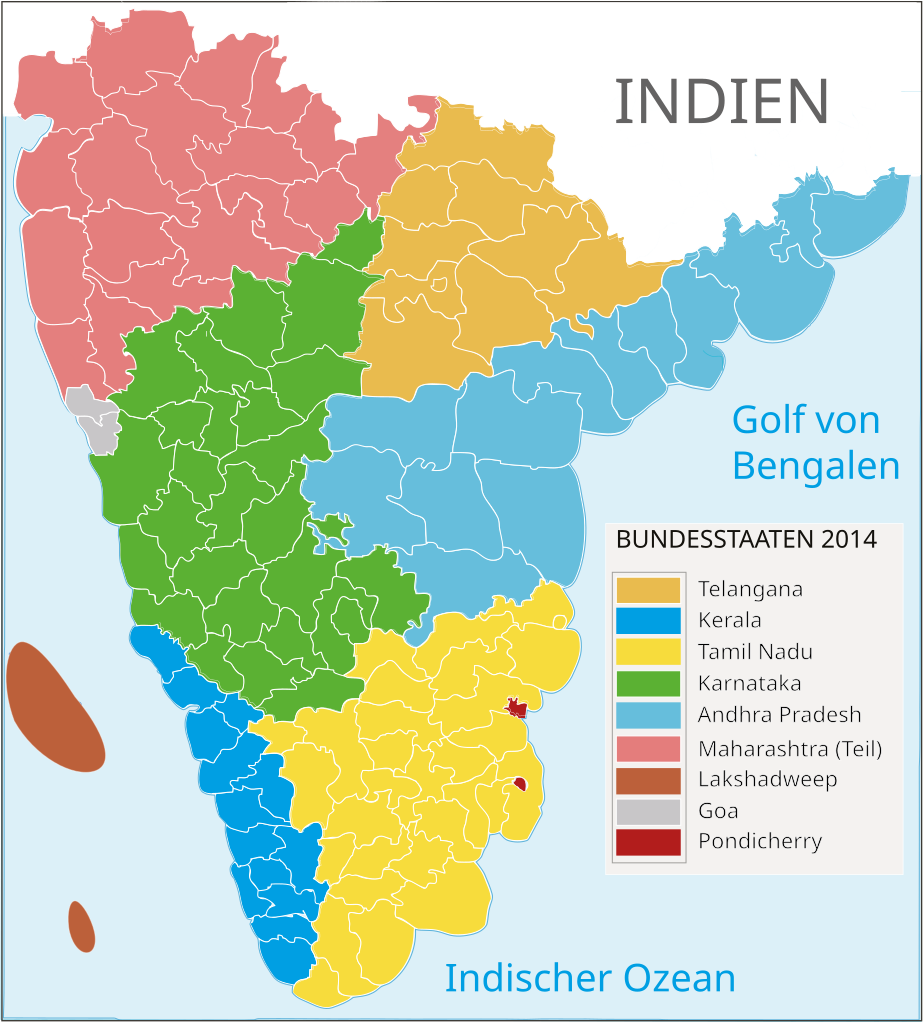
Deutsch: Politische Gliederung Südindiens 2014 |
| Date | (UTC) |
| Source | |
| Author |
The original uploader was AreJay at English Wikipedia. |
| Other versions |
|

| This is a retouched picture, which means that it has been digitally altered from its original version. Modifications: 1. Deutsche Übersetzung 2. Politische Gliederung im Jahr 2009. The original can be viewed here: South Indian territories.svg:
|
I, the copyright holder of this work, hereby publish it under the following licenses:
This file is licensed under the Creative Commons Attribution 3.0 Unported license.
- You are free:
- to share – to copy, distribute and transmit the work
- to remix – to adapt the work
- Under the following conditions:
- attribution – You must give appropriate credit, provide a link to the license, and indicate if changes were made. You may do so in any reasonable manner, but not in any way that suggests the licensor endorses you or your use.

|
Permission is granted to copy, distribute and/or modify this document under the terms of the GNU Free Documentation License, Version 1.2 or any later version published by the Free Software Foundation; with no Invariant Sections, no Front-Cover Texts, and no Back-Cover Texts. A copy of the license is included in the section entitled GNU Free Documentation License. |
You may select the license of your choice.
File history
Click on a date/time to view the file as it appeared at that time.
| Date/Time | Thumbnail | Dimensions | User | Comment | |
|---|---|---|---|---|---|
| current | 12:57, 5 April 2014 | | 676 × 749 (279 KB) | Furfur (talk | contribs) | image border fixes |
| 12:55, 5 April 2014 |  | 612 × 792 (302 KB) | Furfur (talk | contribs) | {{Information |Description={{de|1=Politische Gliederung Südindiens 2014}} |Source=*South_Indian_territories.svg |Date=2009-05-31 14:36 (UTC) |Author=*[[:File:South_Indian_territories.svg|South_Indian_territories.... |
You cannot overwrite this file.
File usage on Commons
The following page uses this file:
File usage on other wikis
The following other wikis use this file:
- Usage on de.wikipedia.org
- Usage on fr.wikipedia.org
- Usage on no.wikipedia.org