File:South Asia (compilation).png
Jump to navigation
Jump to search
Size of this preview: 800 × 567 pixels. Other resolutions: 320 × 227 pixels | 640 × 454 pixels | 1,024 × 726 pixels | 1,280 × 908 pixels | 2,560 × 1,815 pixels | 4,104 × 2,910 pixels.
Original file (4,104 × 2,910 pixels, file size: 8.12 MB, MIME type: image/png)
Captions
Captions
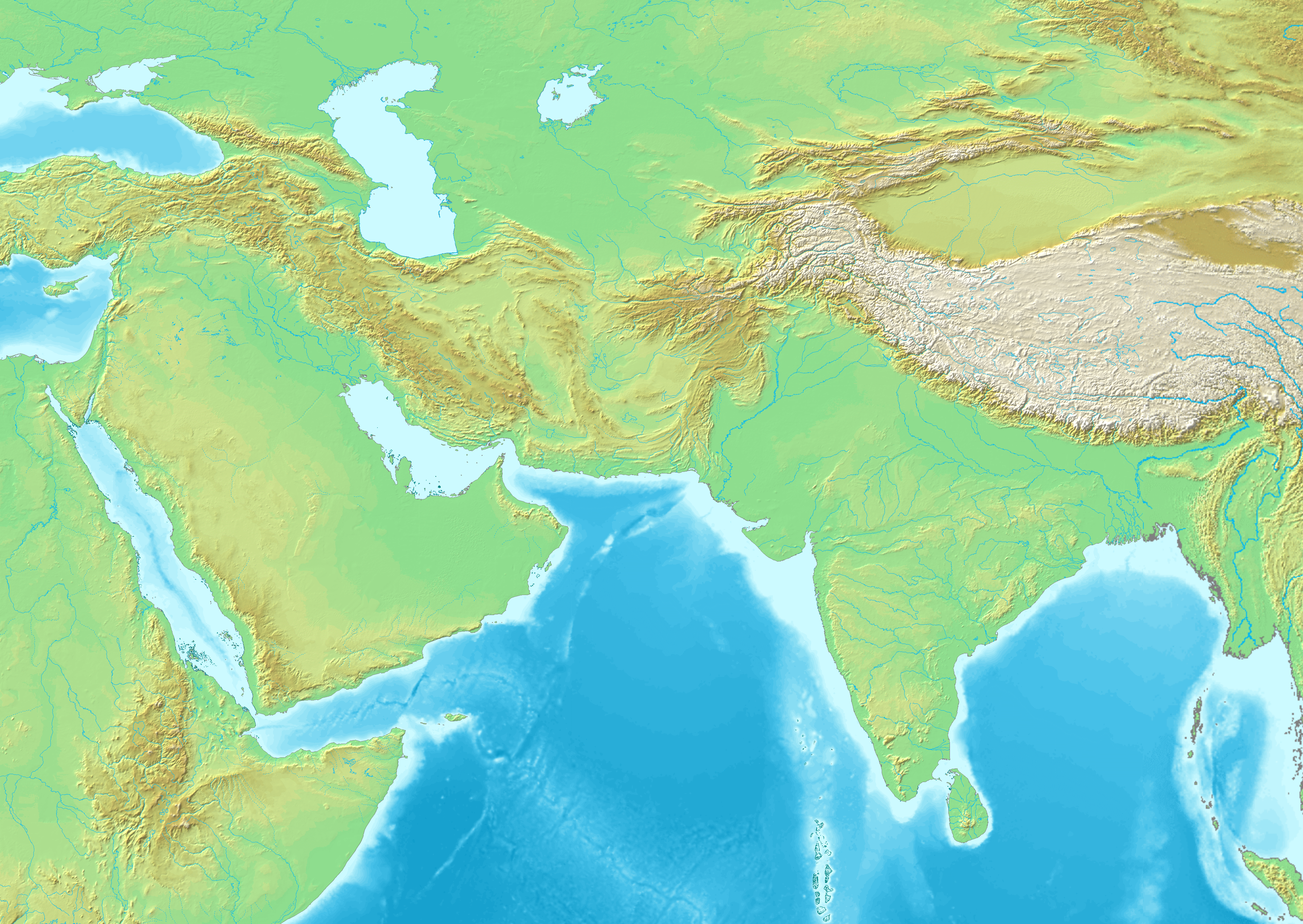
South Asia (compilation)
Summary[edit]
| Description |
English: South Asia (compilation) |
| Date | |
| Source | |
| Author | Maps created from DEMIS Mapserver, which are public domain. Koba-chan |


.png&action=edit§ion=1)
Licensing[edit]
.png&action=edit§ion=2)

|
Permission is granted to copy, distribute and/or modify this document under the terms of the GNU Free Documentation License, Version 1.2 or any later version published by the Free Software Foundation; with no Invariant Sections, no Front-Cover Texts, and no Back-Cover Texts. A copy of the license is included in the section entitled GNU Free Documentation License. |
| This file is licensed under the Creative Commons Attribution-Share Alike 3.0 Unported license. | ||
| ||
| This licensing tag was added to this file as part of the GFDL licensing update. |
File history
Click on a date/time to view the file as it appeared at that time.
| Date/Time | Thumbnail | Dimensions | User | Comment | |
|---|---|---|---|---|---|
| current | 11:49, 18 December 2021 | | 4,104 × 2,910 (8.12 MB) | पाटलिपुत्र (talk | contribs) | Uploaded a work by Maps created from [http://www2.demis.nl/mapserver/mapper.asp DEMIS Mapserver], which are public domain. Koba-chan from {{extracted from|File:Topographic30deg N30E30.png}} {{extracted from|File:Topographic30deg N0E30.png}} {{extracted from|File:Topographic30deg N30E60.png}} {{extracted from|File:Topographic30deg N0E60.png}} {{extracted from|File:Topographic90deg N0E90.png}} with UploadWizard |
You cannot overwrite this file.
File usage on Commons
The following 11 pages use this file:
- File:Ghurid Empire according to Schwartzberg Atlas, p.147.png
- File:Map of the Delhi Sultanate.png
- File:Map of the Khalji Sultanate.png
- File:Map of the Lodis.png
- File:Map of the Mamluk Dynasty.png
- File:Map of the Mamluk Empire.jpg
- File:Map of the Rajputana 1525.png
- File:Map of the Sayyid Dynasty.png
- File:Map of the Sharqi Dynasty of the Jaunpur Sultanate.png
- File:Map of the Sisodiyas.png
- File:Map of the Tughlaqs.png
File usage on other wikis
The following other wikis use this file:
- Usage on en.wikipedia.org
.png&oldid=653428009)