File:Somalia relief map 1992, CIA.jpg
Jump to navigation
Jump to search

Size of this preview: 496 × 599 pixels. Other resolutions: 199 × 240 pixels | 397 × 480 pixels | 1,012 × 1,222 pixels.
Original file (1,012 × 1,222 pixels, file size: 205 KB, MIME type: image/jpeg)
Captions
Captions
Add a one-line explanation of what this file represents
Summary[edit]
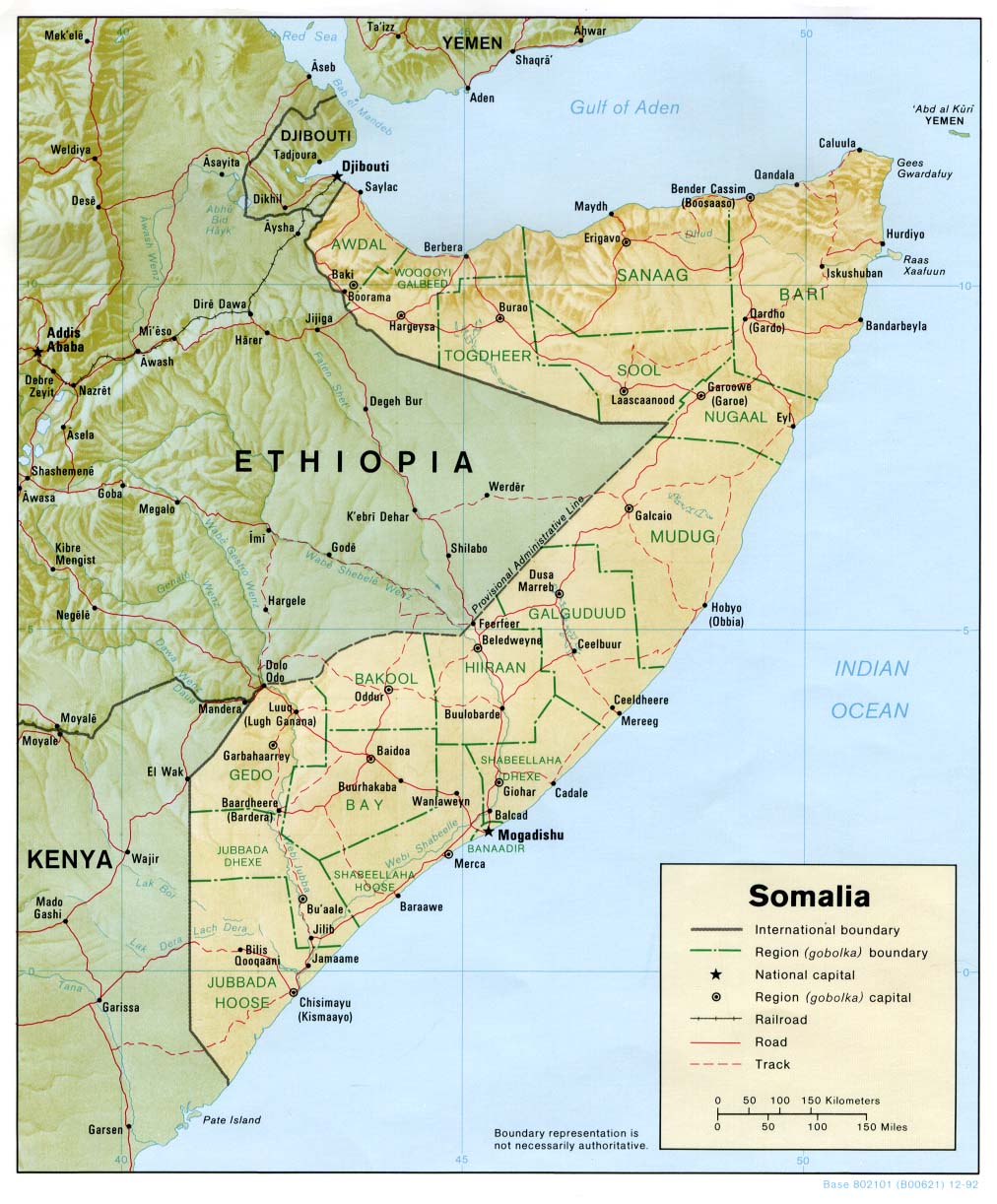
| Description | Shaded relief map of Somalia, 1992, produced by the U.S. Central Intelligence Agency. |
| Date | |
| Source | University of Texas Libraries, Perry-Castañeda Library Map Collection: Somalia Maps |
| Author | CIA |
Licensing[edit]
| This image is a work of a Central Intelligence Agency employee, taken or made as part of that person's official duties. As a Work of the United States Government, this image or media is in the public domain in the United States.
|

|
File history
Click on a date/time to view the file as it appeared at that time.
| Date/Time | Thumbnail | Dimensions | User | Comment | |
|---|---|---|---|---|---|
| current | 16:35, 24 March 2010 | | 1,012 × 1,222 (205 KB) | Martin H. (talk | contribs) | {{Information |Description= Shaded relief map of Somalia, 1992, produced by the U.S. Central Intelligence Agency. |Source= University of Texas Libraries, Perry-Castañeda Library Map Collection: [http://www.lib.utexas.edu/maps/somalia.html Somalia Maps] { |
You cannot overwrite this file.
File usage on Commons
The following page uses this file:
File usage on other wikis
The following other wikis use this file:
- Usage on avk.wikipedia.org